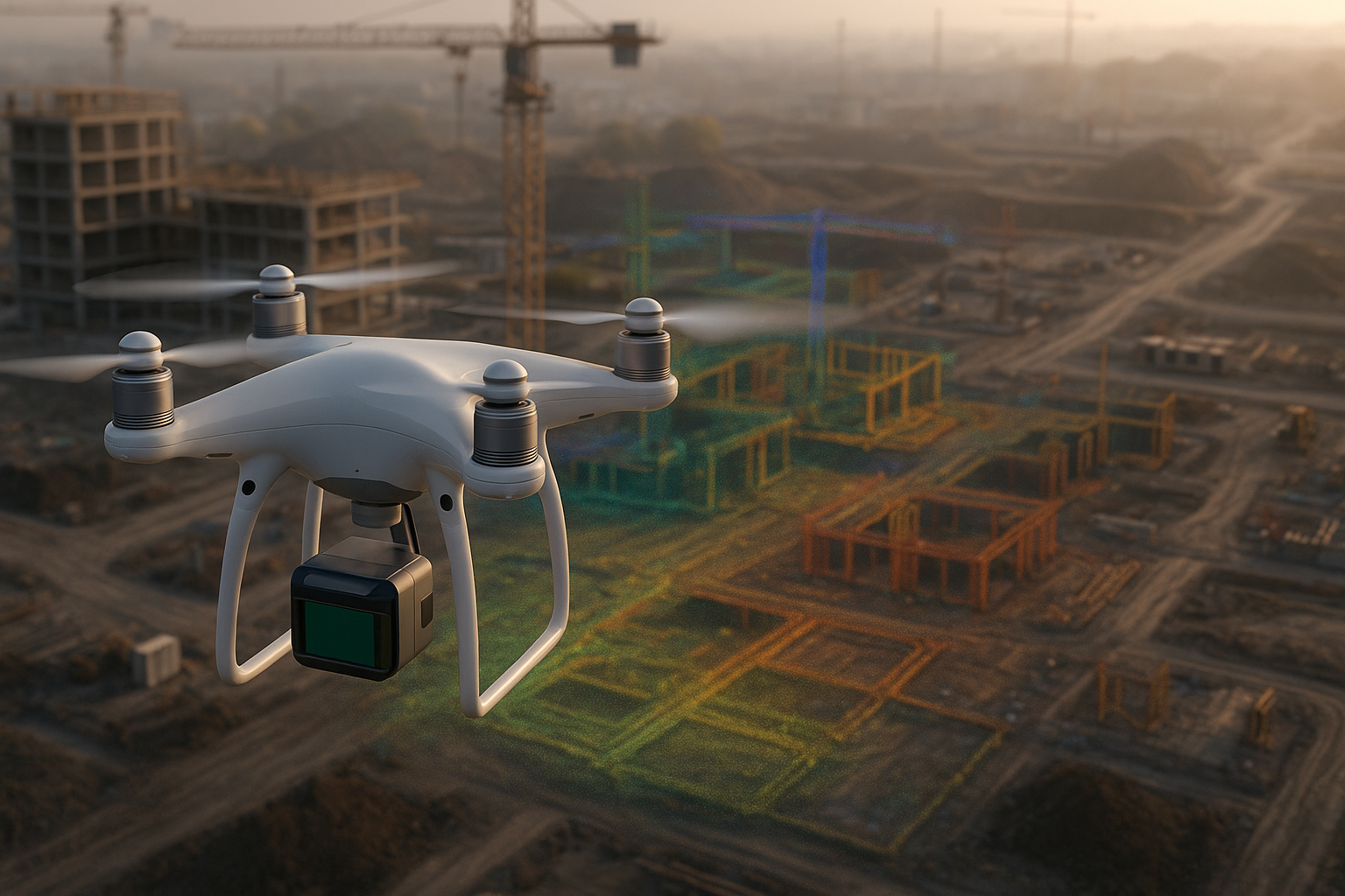
The construction industry is rapidly adopting LiDAR-equipped drones to capture accurate elevation models, surface data, and 3D structural information. These tools improve planning, safety, and project execution.
Why Construction Firms Choose LiDAR Drones
1. Centimeter-Accurate Terrain Data
LiDAR penetrates vegetation and reveals the true ground surface, enabling highly precise grading and modeling.
2. Faster Site Surveys
A single drone flight collects millions of points within minutes—far faster than traditional surveying crews.
3. Safety Improvements
Drones reduce the need for workers to traverse unstable terrain, steep slopes, or hazardous construction zones.
4. 3D BIM & CAD Integration
Data from LiDAR flights integrates cleanly into CAD software for design validation and construction planning.
5. Better Progress Tracking
Frequent LiDAR captures give project managers accurate insight into earthwork, stockpile volumes, and structural alignment.
Conclusion
LiDAR drones offer unmatched accuracy and operational efficiency for construction professionals.
Written by DJI Gear Portal. Original article based on general LiDAR research.