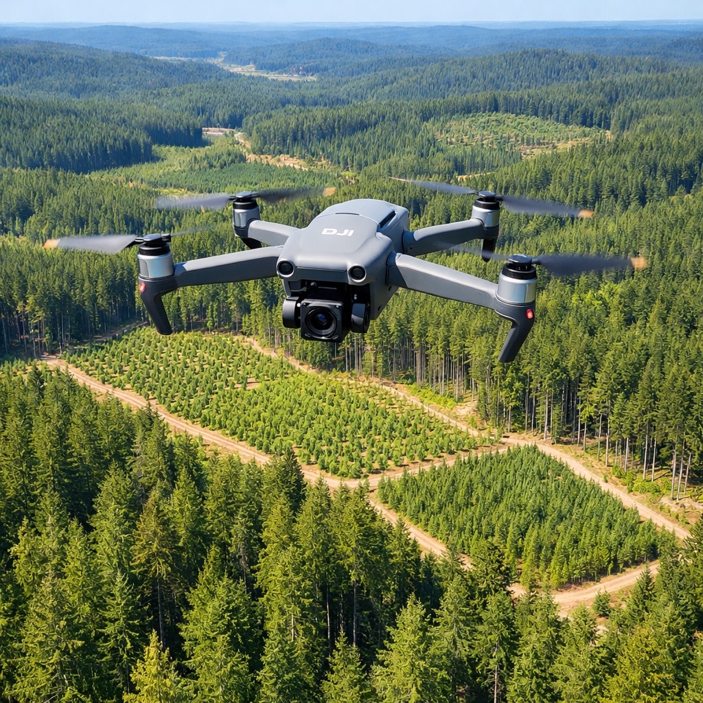
Managing forests sustainably requires detailed knowledge of forest conditions, tree health, growth patterns, and countless other factors that affect forest productivity and ecosystem health. Traditional forestry methods rely on ground surveys that are time-consuming, limited in scope, and expensive to conduct regularly. DJI drones are providing forest managers with new tools to monitor vast forested areas efficiently, track changes over time, and make better decisions about harvesting, conservation, and forest health management.
Forests cover enormous areas—thousands or tens of thousands of acres in many managed forests. Understanding what's happening across these vast landscapes has always challenged forest managers. Ground crews can survey only limited areas, providing sample data that's extrapolated to estimate conditions across entire forests. This sampling approach works but leaves gaps in knowledge and can miss localized problems until they spread widely.
Aerial surveys using manned aircraft provide broader coverage but are expensive, weather-dependent, and limited in detail. The high altitude needed for efficient coverage means imagery lacks the resolution to identify many important details. The cost restricts how often surveys can be conducted, so forest conditions might change significantly between infrequent survey flights.
Drones fill this gap by providing affordable, frequent, detailed surveys of forested areas. While a single drone can't survey an entire forest in one flight, systematic surveys over time can comprehensively map and monitor large areas. The cost per acre surveyed is far lower than manned aircraft or intensive ground surveys, making regular monitoring practical and affordable.
Healthy forests are productive forests. Disease, pest infestations, and stress from drought or other factors can damage tree health and reduce timber value. Early detection of health problems allows intervention before issues spread widely and cause significant damage. Drones excel at detecting forest health issues in their early stages.
Stressed or diseased trees show changes in how they reflect light, particularly outside the visible spectrum. Multispectral cameras on drones measure these changes, revealing health problems before they're obvious to ground observers. A small infestation of bark beetles or a localized disease outbreak shows clearly in multispectral imagery, allowing forest managers to target treatment to affected areas before problems expand.
Regular drone surveys create baseline data about normal forest conditions. Comparing current imagery to baseline reveals changes that might indicate developing problems. A stand of trees that appears healthy to ground observation but shows subtle changes in multispectral signatures might be in early stages of stress or disease. This early warning enables proactive management that protects forest value and prevents widespread damage.
Commercial forestry depends on accurate information about timber volumes, species distribution, and optimal harvest timing. Traditional forest inventory involves ground crews measuring sample plots and using statistical methods to estimate overall forest characteristics. This approach provides useful data but requires significant labor and time while still producing estimates with uncertainty.
Drones support more accurate forest inventory. High-resolution imagery combined with elevation data from photogrammetry creates detailed 3D models of forest canopies. Processing this data estimates tree heights, canopy cover, and even individual tree counts. Multispectral data helps identify species and assess tree vigor. The result is more complete, accurate information about forest resources than traditional sampling methods provide.
For harvest planning, drone surveys map the forest in detail, showing access routes, sensitive areas to avoid, optimal harvest blocks, and the relationship between different forest stands. This information helps plan harvests that maximize timber value while protecting water quality, wildlife habitat, and long-term forest productivity. The aerial perspective also reveals terrain features and potential challenges that affect harvest operations and logging road planning.
After harvest or natural disturbances, successful reforestation is essential for long-term forest productivity. Young trees need to establish and grow successfully to become the next timber crop. Monitoring reforestation success traditionally requires ground crews to visit sites and count surviving seedlings—a process that samples only small portions of regenerating areas.
Drones provide comprehensive monitoring of reforestation sites. Regular surveys track how planted seedlings are establishing, identify areas where survival is poor and replanting might be needed, and monitor competition from other vegetation that might suppress tree growth. This frequent, detailed monitoring ensures reforestation investments succeed and allows early intervention when problems develop.
The data also documents reforestation outcomes for regulatory compliance and certification purposes. Forest certification programs require demonstrating successful reforestation practices. Systematic drone documentation provides clear evidence that reforestation standards are being met and that forests are being managed sustainably.
Whether you manage private timberlands, public forests, or conservation areas, DJI drones provide tools for better forest stewardship. From monitoring tree health to planning sustainable harvests, aerial intelligence supports better decisions about forest resources.
Discover DJI Forestry SolutionsWildfires pose serious threats to forests, communities, and the environment. Managing wildfire risk requires understanding fuel loads, identifying high-risk areas, and maintaining defensible spaces. During active fires, real-time intelligence about fire behavior and spread helps firefighters work safely and effectively. Drones support both prevention and active fire management.
For prevention, drones survey forests to assess fuel conditions—the accumulation of dead wood, dense undergrowth, and other materials that feed intense fires. This information helps prioritize fuel reduction treatments like prescribed burns or mechanical thinning. The aerial view shows how potential fires might spread across the landscape, informing decisions about where to focus prevention efforts for maximum risk reduction.
During active wildfires, drones equipped with thermal cameras provide real-time information about fire location, intensity, and spread direction. This intelligence helps incident commanders deploy firefighting resources effectively and keep firefighters safe by showing them what's happening beyond their immediate view. After fires, rapid drone surveys assess damage, identify hazards, and document burned areas for recovery planning.
In some regions, illegal logging threatens forest resources and undermines sustainable management. Detecting illegal logging in remote forest areas is challenging with ground patrols alone. Regular drone surveys can identify evidence of unauthorized logging—fresh stumps, new roads, disturbed areas—that might not be noticed between infrequent ground patrols.
The systematic aerial documentation creates records showing forest conditions over time. If illegal logging occurs, comparing recent imagery to previous surveys provides clear evidence of when and where unauthorized activity happened. This documentation supports enforcement actions and helps deter illegal activity by increasing the likelihood of detection.
Forests play important roles in carbon storage and climate mitigation. Carbon offset projects, sustainable forest management certifications, and climate initiatives require accurate measurement and monitoring of forest carbon stocks. Drones support this monitoring by providing detailed data about forest structure, biomass, and changes over time.
The 3D forest models created from drone surveys feed into calculations of carbon storage in living trees. Regular monitoring documents how carbon stocks change as forests grow or are harvested. This measurement supports carbon accounting, demonstrates the climate benefits of sustainable forestry, and enables participation in carbon markets where forest carbon storage can generate revenue.
Sustainable forest management balances timber production with wildlife habitat conservation. Understanding how forests provide habitat for various species requires information about forest structure, age class distribution, and landscape patterns. Drones help assess these habitat characteristics across large areas.
Different wildlife species need different habitat conditions. Some require old-growth characteristics, others need young regenerating forests, and many need a mix of conditions across the landscape. Drone surveys map forest diversity and identify areas providing important habitat features. This information guides harvest planning to maintain habitat connectivity and preserve critical wildlife areas while still allowing productive timber management.
The aerial perspective also reveals landscape patterns that affect wildlife populations—how forest patches connect, where barriers exist, and whether the landscape provides the mix of conditions that support biodiversity. This understanding helps forest managers design management approaches that support both timber production and healthy wildlife populations.
Forest road systems provide access for management activities but also affect water quality, erosion, and ecosystem function. Maintaining roads properly protects water resources while ensuring reliable access for forest operations. Drones help monitor road conditions, identify maintenance needs, and assess environmental impacts.
Regular drone surveys of road systems reveal erosion problems, drainage issues, or road surface deterioration before they become serious. This early identification allows proactive maintenance that's less expensive than repairing major failures. The surveys also document road conditions for compliance with environmental regulations that require proper road maintenance to protect water quality.
When planning new roads for harvest operations, drone surveys provide detailed terrain information that helps route roads to minimize environmental impact and construction costs. Understanding slopes, drainage patterns, and soil conditions from aerial data improves road design and reduces the risk of costly road failures.
Severe weather events can damage large areas of forest through windthrow, ice damage, or other impacts. After major storms, forest managers need to quickly assess damage extent to plan salvage operations and minimize loss of timber value. Drones enable rapid damage assessment across large areas.
Immediately after storms, drone surveys document what areas were affected and how severe the damage is. This information helps prioritize salvage harvests in areas where damaged timber can still be recovered before deterioration reduces its value. The surveys also identify safety hazards from damaged trees and assess whether normal operations can resume or if storm cleanup is needed first.
The investment in drone technology for forestry provides returns through multiple channels. Better information supports better decisions about when and where to harvest, which areas need treatment for health problems, and how to manage forests for optimal long-term productivity. Early detection of problems prevents small issues from becoming expensive disasters. More accurate inventory reduces uncertainty in timber sales. Improved reforestation monitoring ensures planting investments succeed.
The time and cost savings compared to traditional survey methods are substantial. A drone survey that costs hundreds of dollars might provide information that would require thousands of dollars of ground survey work or tens of thousands for manned aircraft surveys. This efficiency makes frequent monitoring affordable, providing better management information than was economically feasible with traditional methods.
Modern forest management increasingly relies on geographic information systems and computer-based decision tools. Drone data integrates naturally into these systems, providing current information that improves planning and operations. The spatial data from drone surveys overlays with other forest information—ownership boundaries, stream locations, soil types, historical harvest records—creating comprehensive pictures of forest conditions that support sophisticated analysis and decision-making.
This integration enables precision forestry approaches where management decisions are based on detailed understanding of site-specific conditions rather than broad generalizations. Different areas receive different treatments based on their specific characteristics and management objectives. The result is more efficient operations and better outcomes for both timber production and environmental stewardship.
Forestry applications benefit from drones with good cameras, long flight times, and the ability to handle challenging conditions. Forest environments often involve wind, varying terrain, and limited landing areas. Drones need reliable performance in these conditions to support consistent survey work.
The DJI Mavic 4 Pro provides excellent capabilities for forestry operations with its high-resolution camera, long flight time, and reliable operation. For operations wanting multispectral capabilities for detailed vegetation analysis, there are options that integrate with or attach to DJI drones. The key is matching drone capabilities to specific forestry applications while maintaining portability for field use.
Drone technology in forestry continues to evolve rapidly. Improved sensors provide more detailed information about forest conditions. Better software automates data processing and analysis. Artificial intelligence helps identify tree species, detect health problems, and estimate timber volumes from aerial imagery. These advances make drone-based forest monitoring increasingly powerful and accessible.
For forest managers committed to sustainable practices and optimal productivity, understanding and using drone technology is becoming essential. The tool provides insights and capabilities that traditional methods simply cannot match. In an industry where decisions made today affect forests decades into the future, having better information through drone monitoring supports better stewardship of forest resources for current and future generations.