Protecting wildlife and monitoring animal populations has always been challenging work. Researchers and conservationists need to observe animals in their natural habitats without disturbing them, count populations across vast territories, and track movements over time. Traditional methods like ground surveys, manned aircraft, and camera traps all have significant limitations. DJI drones are providing new tools that make wildlife conservation more effective, less invasive, and more affordable than ever before.
Understanding wildlife populations is essential for conservation. Scientists need to know how many animals there are, where they live, how they move, and whether populations are growing or declining. This information guides conservation policies, habitat protection efforts, and interventions to help struggling species.
But gathering this data is difficult. Many animals live in remote, inaccessible places. They're often wary of humans and change their behavior when people are nearby. Traditional survey methods require large teams, extensive time in the field, and significant funding. Manned aircraft surveys are expensive and can disturb wildlife with noise. Ground surveys are limited in scope and can miss animals that are hidden or in difficult terrain.
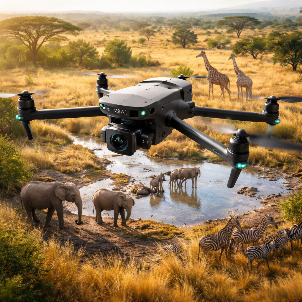
Drones solve many of these problems. They can fly over wildlife habitats quietly, capturing detailed images and video from above without disturbing the animals below. Research has shown that many species react less to drones than to ground-based observers or helicopters, especially when drones are flown at appropriate altitudes.
A DJI drone can cover large areas systematically, capturing comprehensive data about what animals are present and where they are. The aerial perspective makes it easier to spot animals that would be hidden from ground observers. High-resolution cameras can capture details that help identify individual animals, count populations accurately, and assess health conditions.
The data collected by drones is also more consistent. The same flight path can be repeated over time, making it easier to compare populations and track changes. GPS coordinates tag every image, creating precise records of where animals were observed. This systematic approach produces better data than traditional methods while requiring fewer people and resources.
One of the most important conservation applications is population counting. Knowing how many animals exist is fundamental to understanding whether a species is recovering or declining. Drones make population surveys more accurate and efficient.
For animals that live in open habitats like grasslands, beaches, or ice floes, drones can photograph entire areas and researchers can count every visible individual. For species that form groups or colonies, drones can capture images of entire gatherings at once, making counting more accurate than ground-based observations.
Advanced image analysis software can even automate much of this counting process. Algorithms can identify and count animals in drone imagery, reducing the manual work required and improving consistency. This is especially valuable for large-scale surveys where counting thousands of animals by hand would be impractical.
Wildlife conservation isn't just about the animals themselves but also about protecting their habitats. Drones provide valuable tools for monitoring habitat conditions and detecting changes that could affect wildlife.
Conservationists use drones to map vegetation types and coverage, track changes in water sources, identify areas of habitat degradation or destruction, and monitor the impacts of climate change on ecosystems. This information helps prioritize conservation actions and assess whether habitat protection efforts are working.
The ability to return to the same locations over time and capture comparable data makes drones ideal for tracking changes. A forest area photographed today can be compared with images from months or years earlier to see how it has changed. This long-term monitoring is essential for understanding trends and evaluating conservation strategies.
Illegal poaching remains a serious threat to many endangered species. Drones are becoming valuable tools in the fight against poaching, helping rangers protect wildlife more effectively.
Drones can patrol large areas that would be impossible for rangers to cover on foot. They can fly at night using thermal cameras to detect poachers or animals in darkness. When suspicious activity is spotted, rangers can be directed to the exact location quickly. Some conservation organizations use drones for regular patrols, which creates a deterrent effect because poachers know they might be observed from above at any time.
The real-time intelligence that drones provide gives rangers a significant advantage. Instead of finding evidence of poaching after the fact, they can potentially prevent it from happening by responding quickly to drone observations.
Beyond conservation management, drones support scientific research in numerous ways. Biologists use drones to study animal behavior without the disturbance that human observers would cause. They can observe how animals interact, where they feed, how they care for young, and how they respond to environmental conditions.
Drones help researchers study animals in dangerous or difficult environments where human presence would be challenging. Cliff-nesting birds, marine mammals on remote beaches, and animals in dense forests can all be observed more easily and safely with drones.
The data collected supports peer-reviewed research that advances our understanding of wildlife ecology and informs evidence-based conservation strategies. Having good data makes better conservation decisions possible.
Whether you're a conservation professional, wildlife researcher, or passionate about protecting nature, DJI drones offer capabilities that can make a real difference. From monitoring endangered species to documenting habitat changes, the right drone helps you gather the data needed to protect wildlife effectively.
See DJI Conservation SolutionsDifferent conservation applications call for different drone capabilities. For population surveys and habitat monitoring, a drone with a high-quality camera and good flight time is essential. The DJI Mavic 4 Pro provides excellent image quality and portability, making it ideal for fieldwork in remote locations.
For anti-poaching patrols and nighttime work, thermal imaging is crucial. DJI drones with thermal cameras can detect animals and people in complete darkness, providing capabilities that are invaluable for security and monitoring.
Long flight time becomes important when covering large territories. The DJI Air 3S offers solid endurance and camera quality at an accessible price point for conservation organizations working with limited budgets.
Using drones responsibly around wildlife is essential. Conservationists follow guidelines to minimize disturbance. Flying at appropriate altitudes reduces the chance that animals will be disturbed. Avoiding nesting seasons or sensitive times protects vulnerable animals. Understanding the behavior of target species helps operators recognize signs of distress and adjust their approach.
Many conservation organizations have developed protocols for ethical drone use around wildlife. These guidelines balance the need to collect data with the responsibility to avoid harming the animals being studied. Following these best practices ensures that drones remain a valuable conservation tool without becoming a source of stress for wildlife.
Conservation organizations often work with limited budgets, so cost-effectiveness matters. Drones represent a relatively affordable tool that can do work that would otherwise require expensive alternatives like hiring aircraft or deploying large field teams.
The initial investment in a drone and training pays off through repeated use. The same drone can support multiple projects and be used for years with proper maintenance. Compared to the ongoing costs of traditional survey methods, drones offer excellent value for conservation work.
Conservation organizations worldwide are seeing real results from drone programs. Researchers have successfully counted seal populations on remote beaches, monitored orangutan populations in rainforest canopy, tracked elephant movements to reduce human-wildlife conflict, and documented illegal logging in protected areas. These successes demonstrate the practical value of drones for conservation work.
The technology continues to improve, with better cameras, longer flight times, and more sophisticated analysis tools becoming available. As drones become more capable and accessible, their role in conservation will only grow.
For conservation organizations adopting drone technology, training is important. Pilots need to develop not just flying skills but also understanding of how to collect useful scientific data, process and analyze imagery, and integrate drone data into broader conservation programs.
Many conservation groups now include drone training in their capacity building efforts, recognizing that this technology has become an essential tool for modern wildlife protection. The learning curve is manageable, and the payoff in improved conservation outcomes makes the investment worthwhile.
Drones represent just one part of the technology revolution in conservation, but they're an important part. As artificial intelligence and automated analysis improve, drones will become even more powerful tools for understanding and protecting wildlife. We may see fully autonomous monitoring systems that patrol protected areas continuously, collecting data and alerting rangers to concerns automatically.
For anyone passionate about wildlife conservation, understanding how to use drones effectively is becoming an essential skill. These tools help us better understand the natural world and take more effective action to protect it for future generations.