How To Buy A Drone
Understand types, brands, safety, laws, and accessories — pick the drone that fits your goals.
Read More →Quick buying guidance, industry use-cases, and direct links to official DJI products.
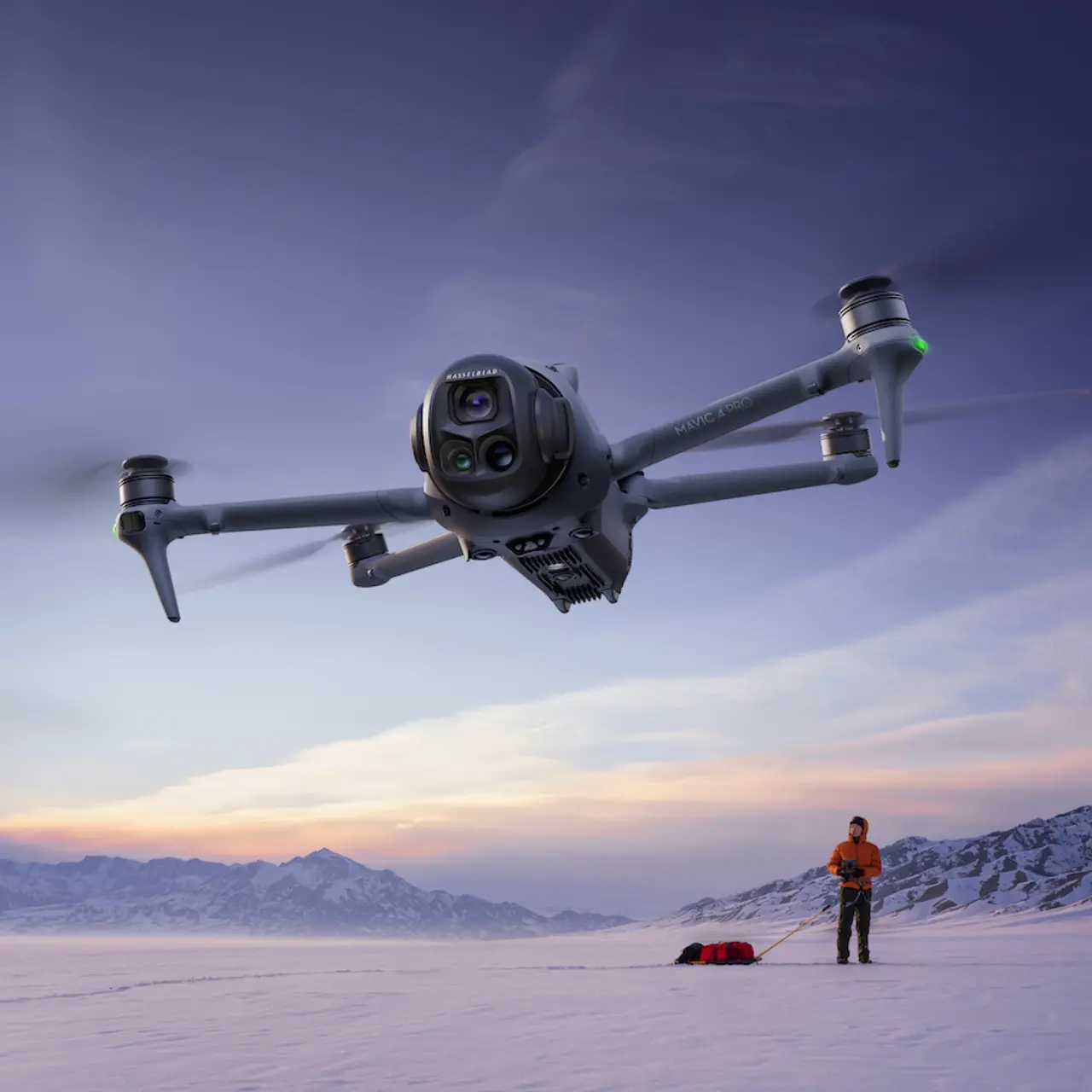
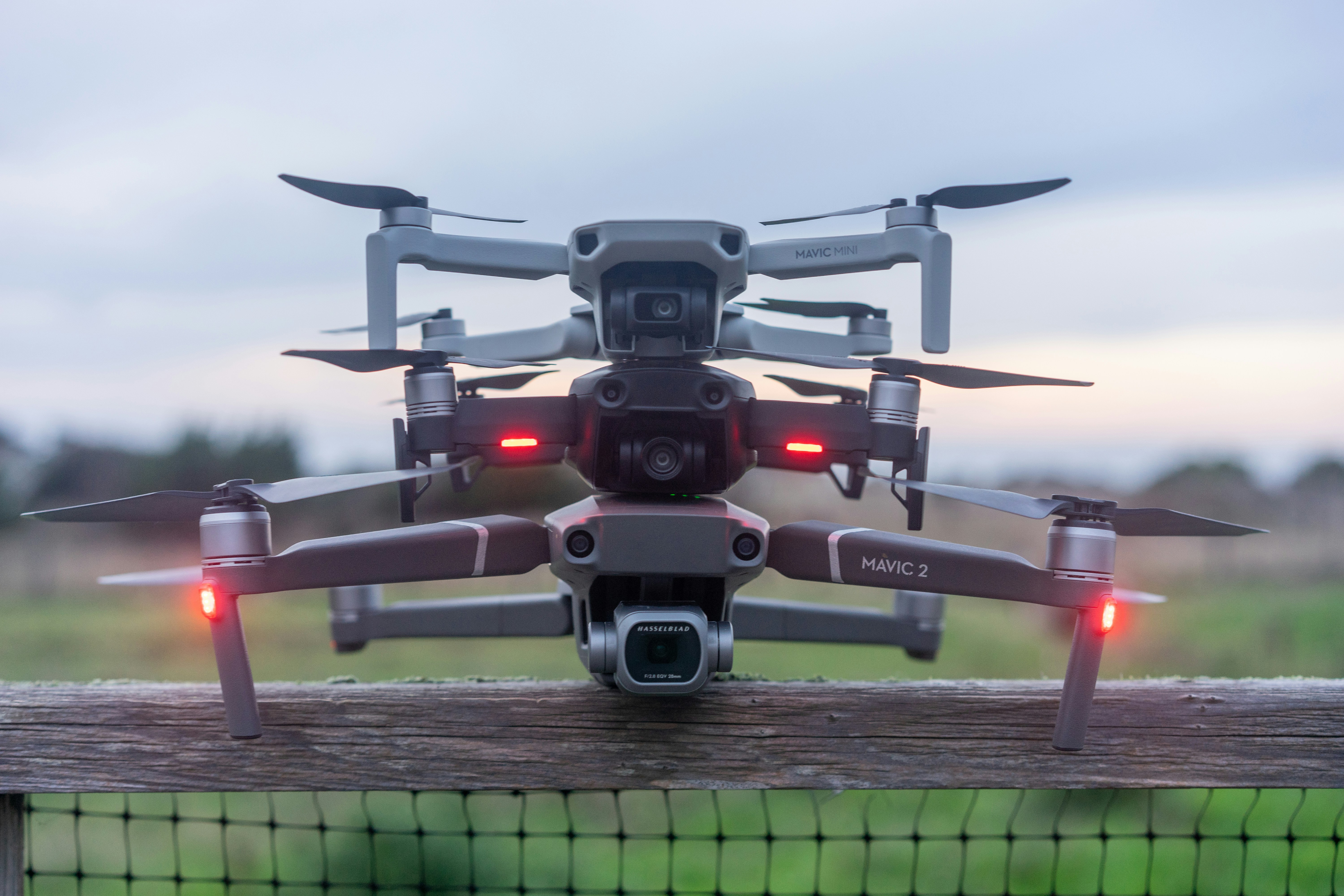
Pro-level aerial imaging and flight performance.

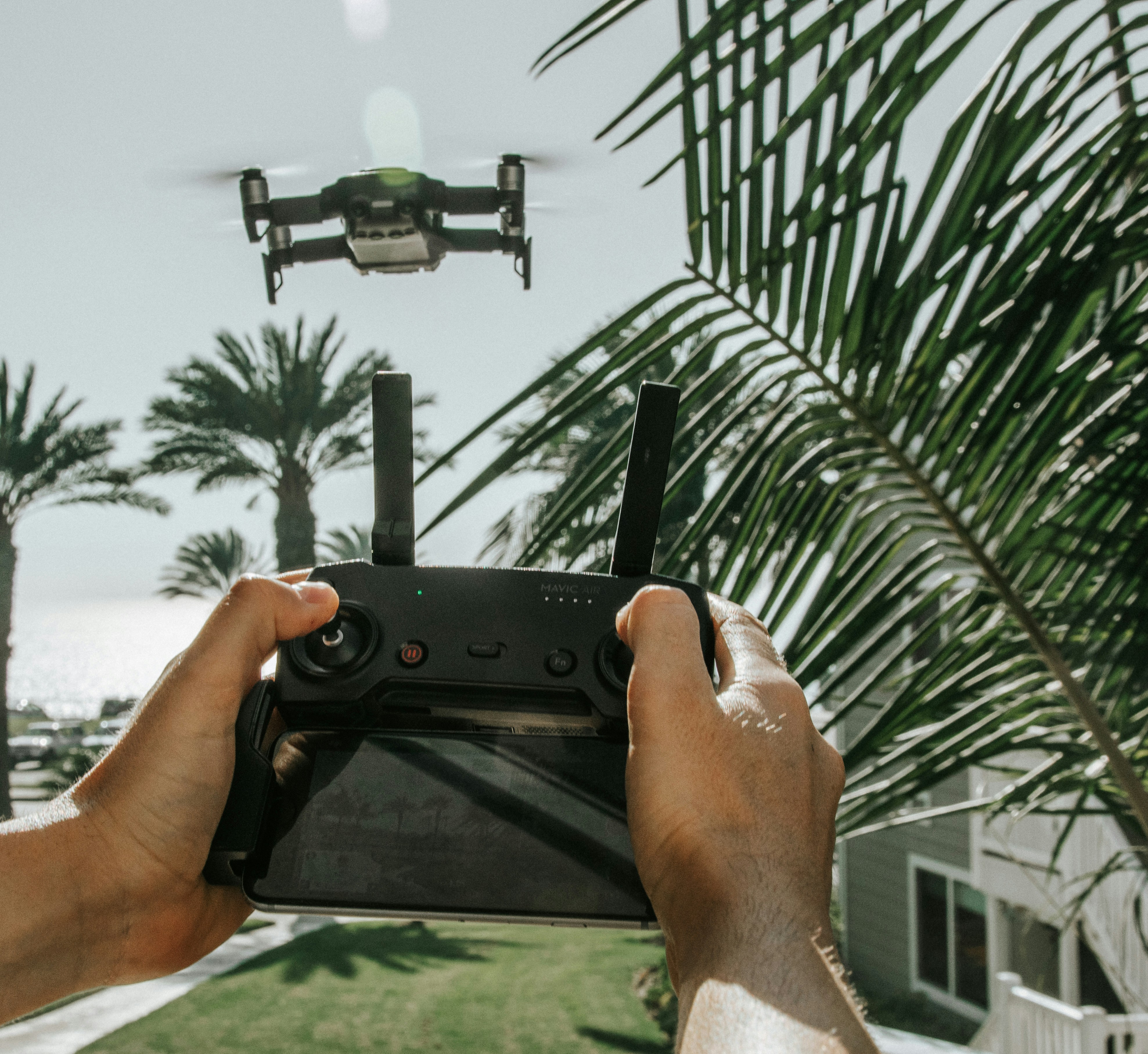
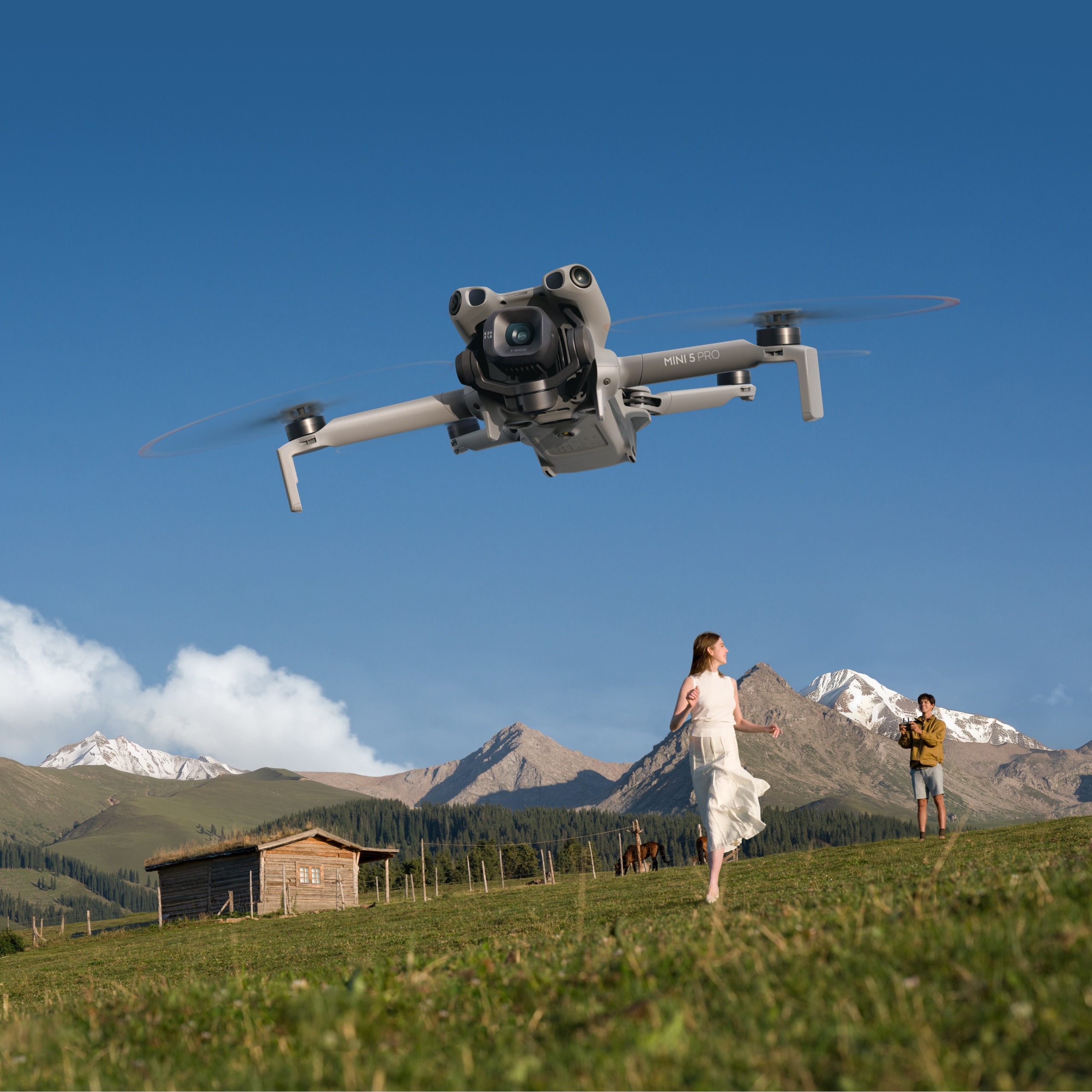
Ultra-compact performance for creators on the move.
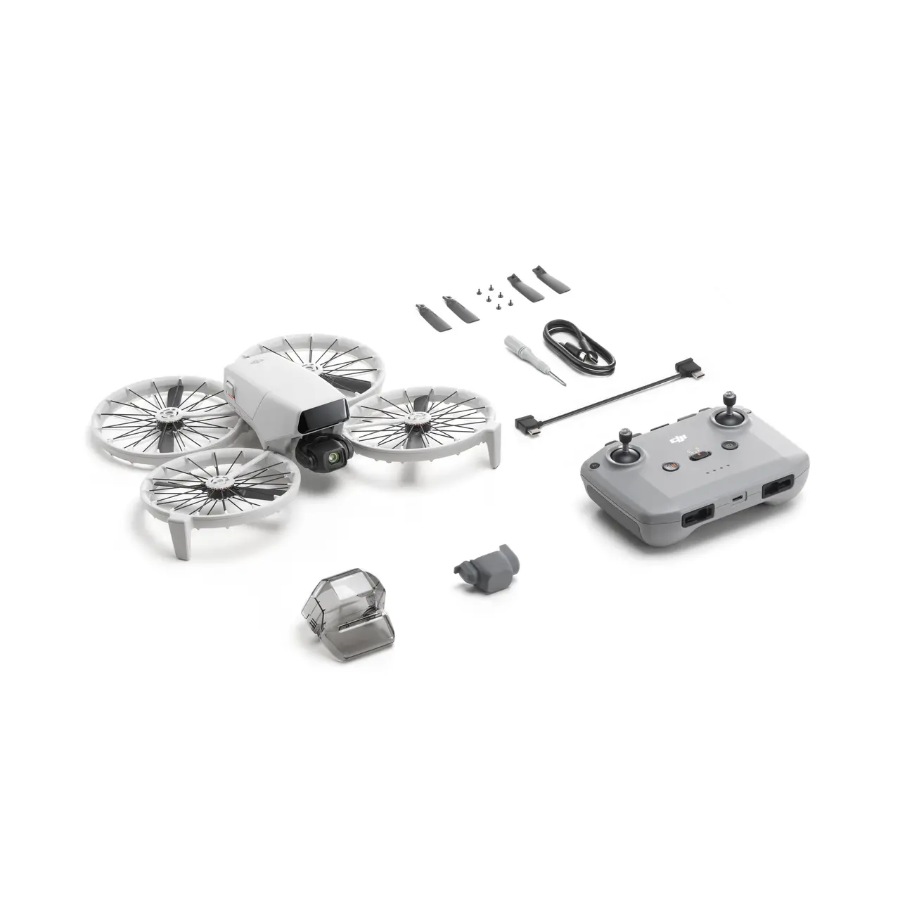
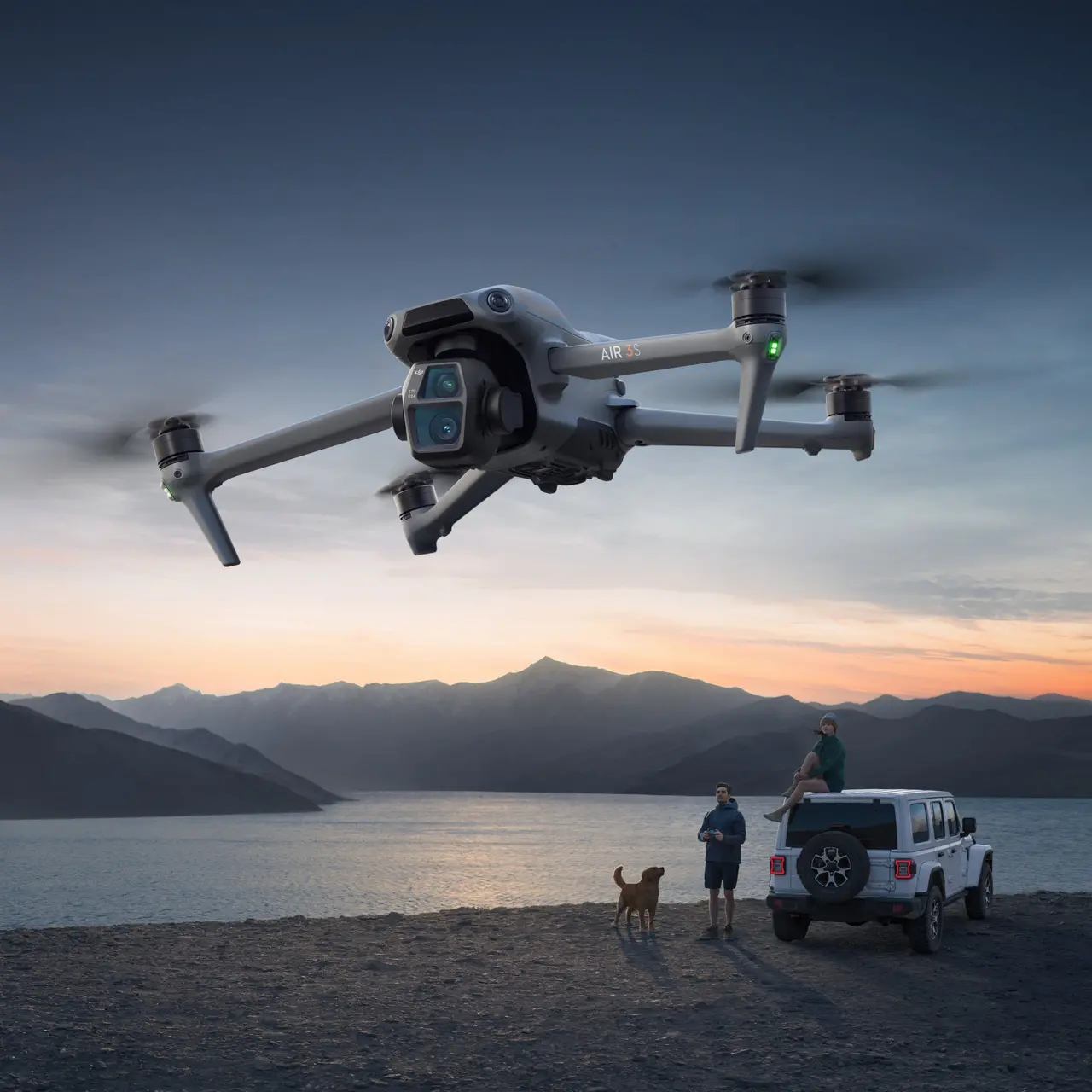
Innovative foldable FPV drone with versatile flying modes.
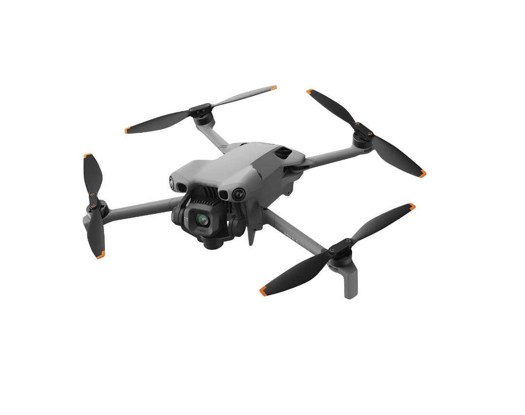
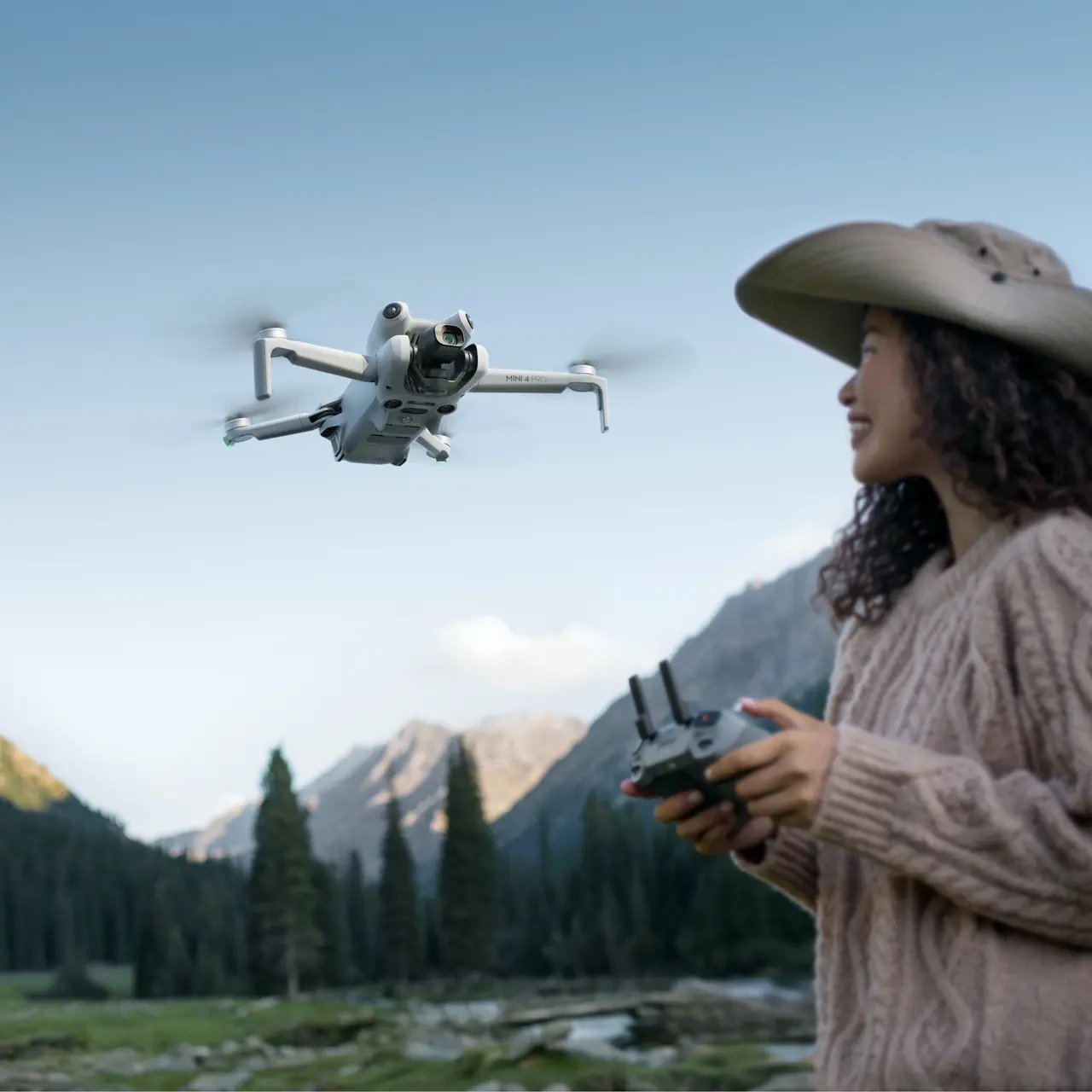
Advanced compact drone with pro-level camera capabilities.

Palm-sized drone perfect for selfies and quick shots.
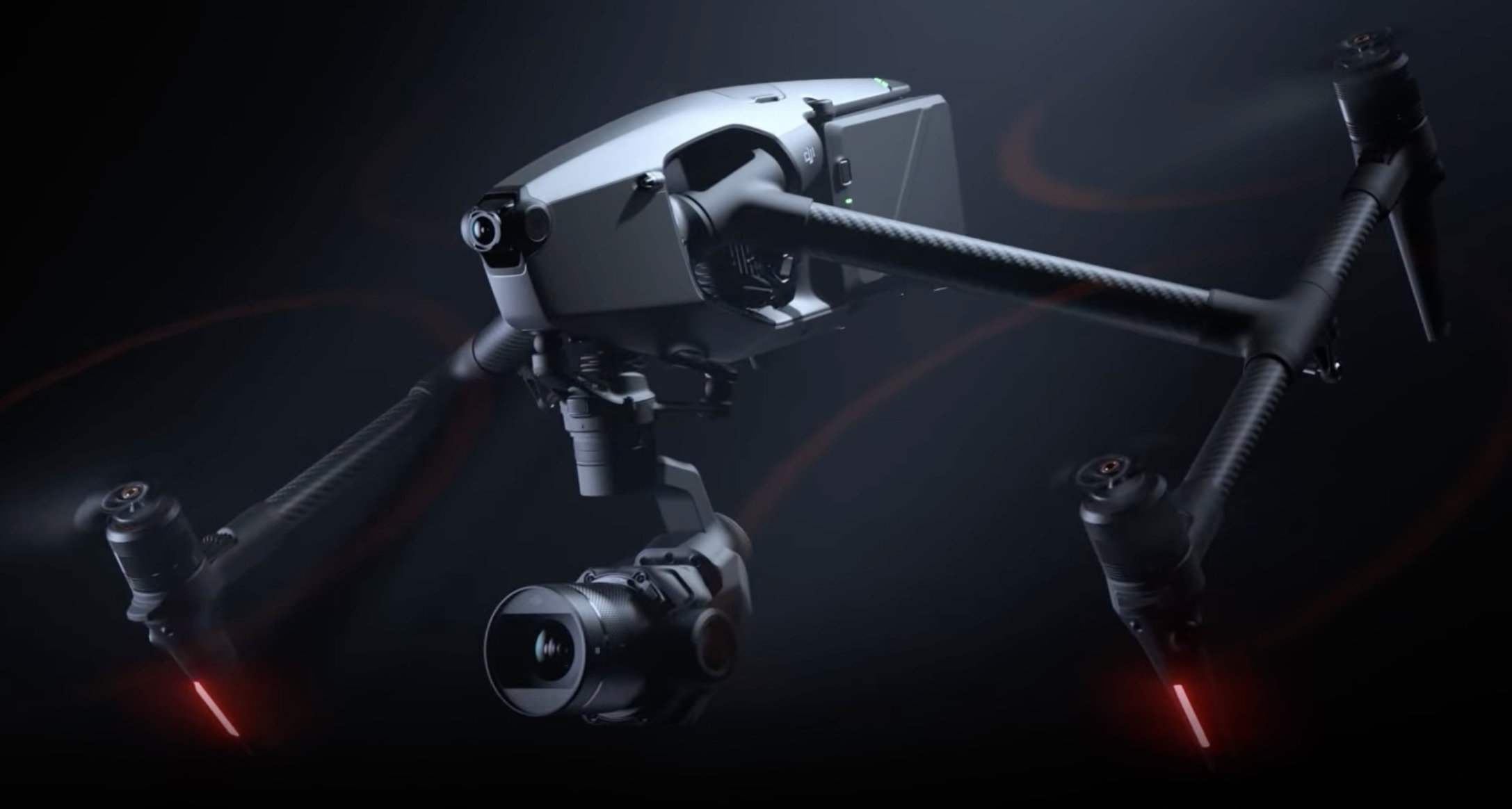
High-end cinema aerial platform.
Compact, simple, reliable—great first drone.
Dual-camera coverage and long flight time for everyday work.

Handheld pocket camera with pro features.
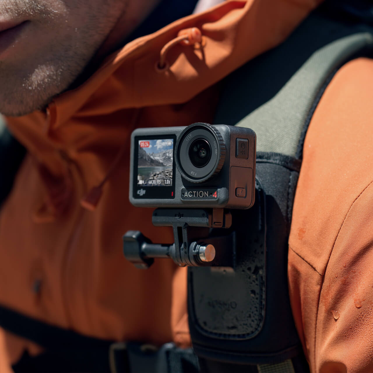
Next-gen action cam for outdoor pros.

Portable smartphone gimbal for silky footage.
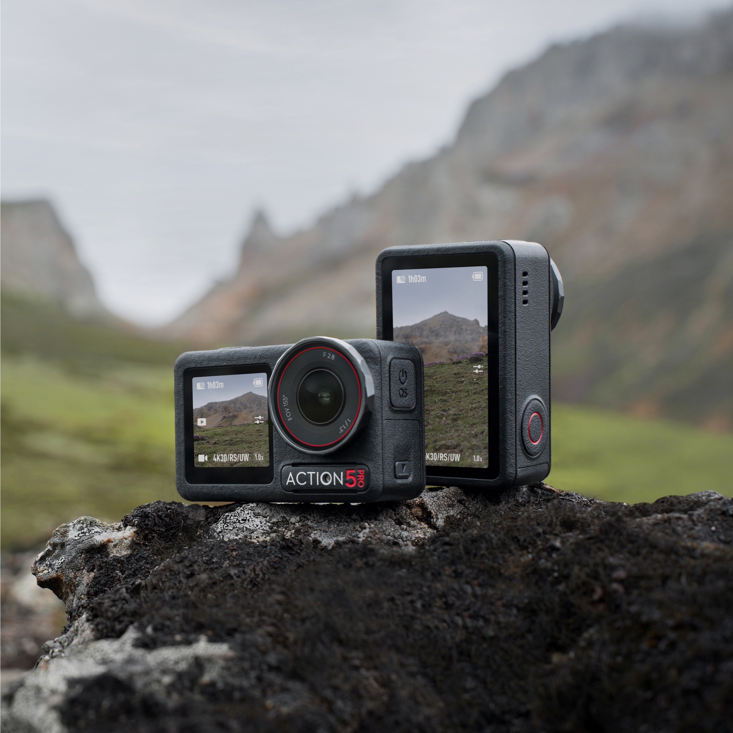
Rugged, pro-grade action camera.
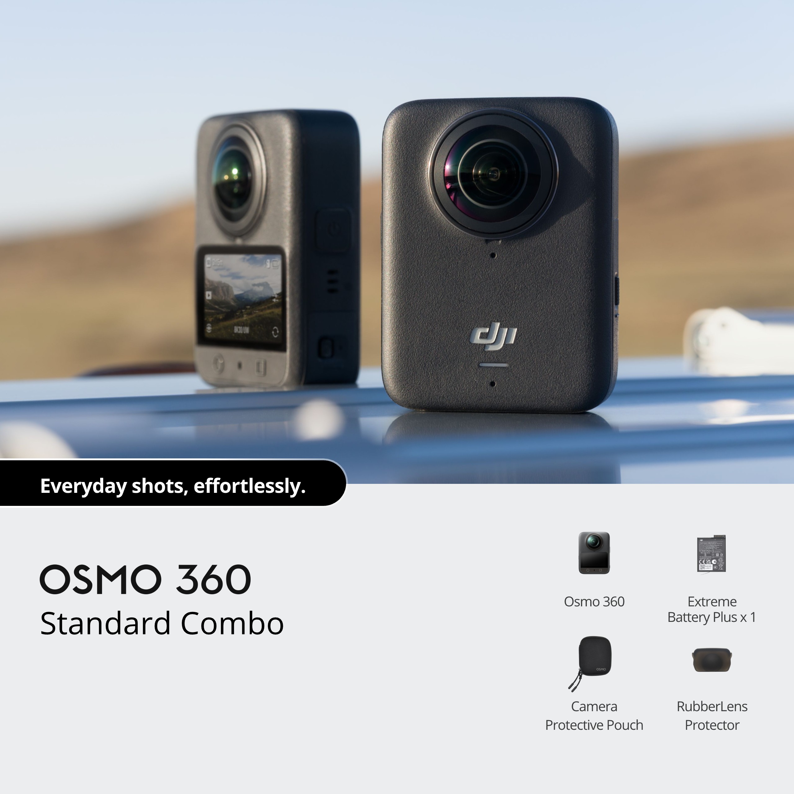
Immersive 360° capture with advanced stabilization.

Pro wireless microphone kit.

Reliable wireless mic kit (2TX + 1RX).

Lightweight gimbal for hybrid shooters.

Professional stabilizers & cinema systems.

Compact stabilizer for solo creators.
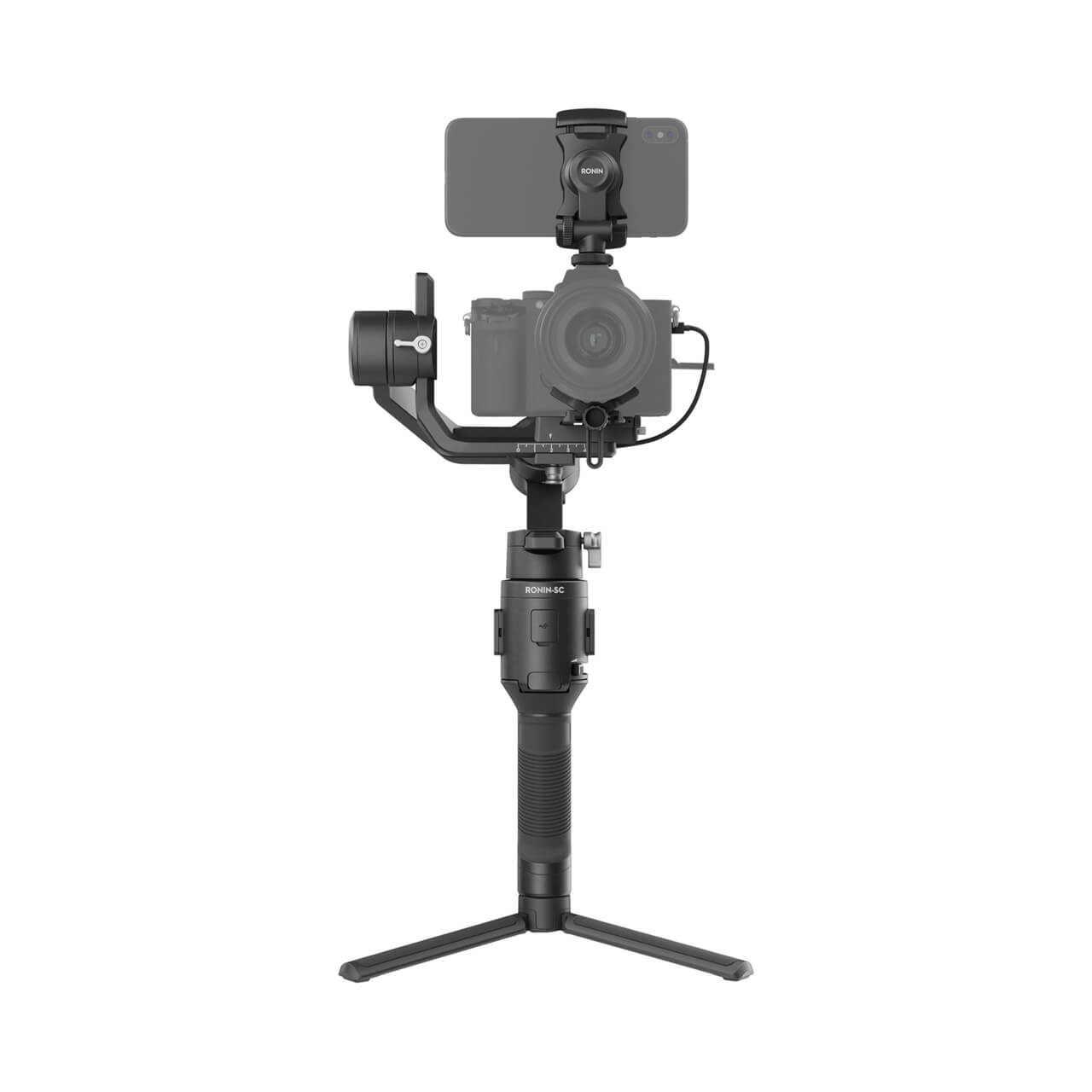
Light stabilizer for mirrorless shooters.
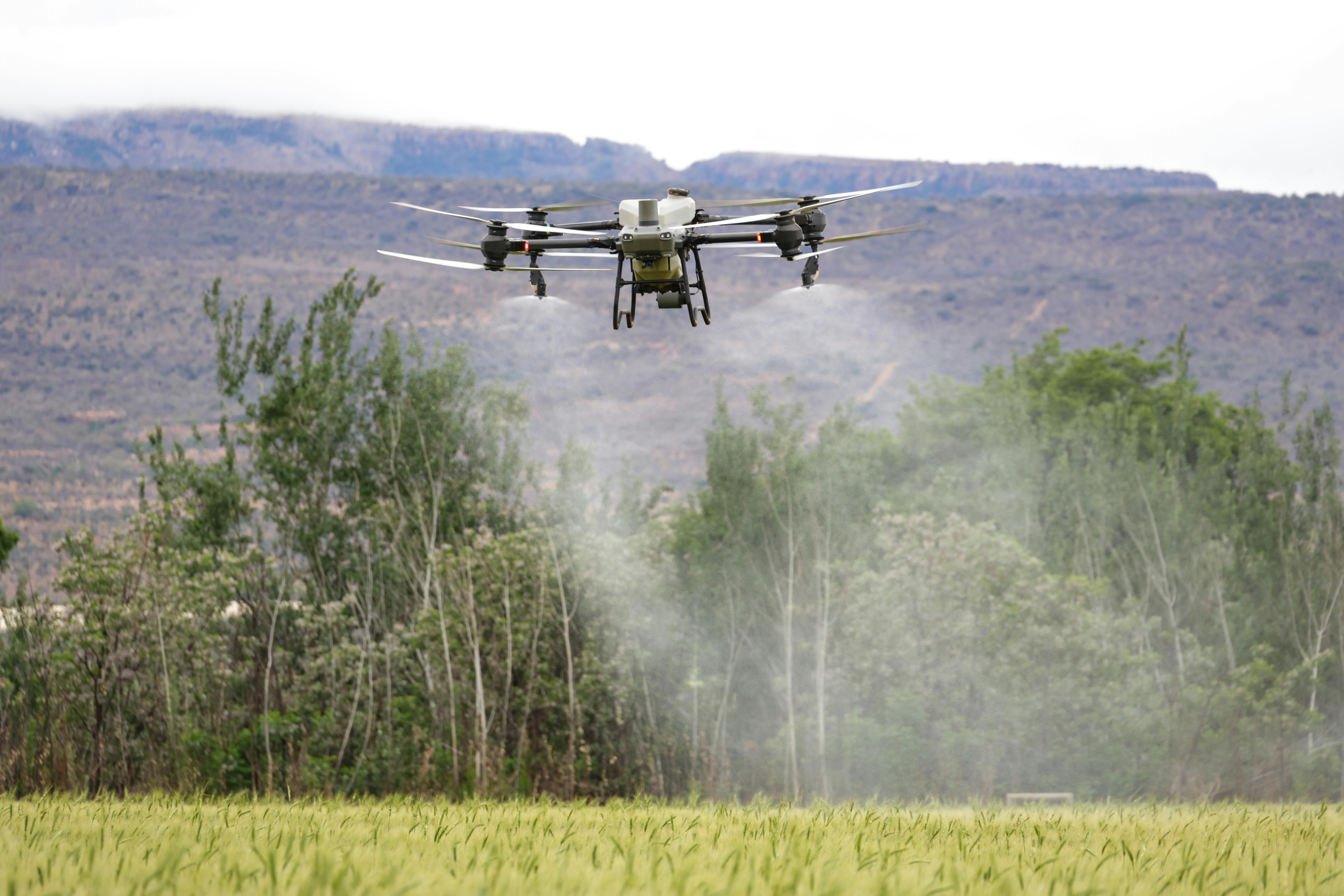
How DJI’s platforms support mapping, scouting, and data-driven crop decisions.
Read More →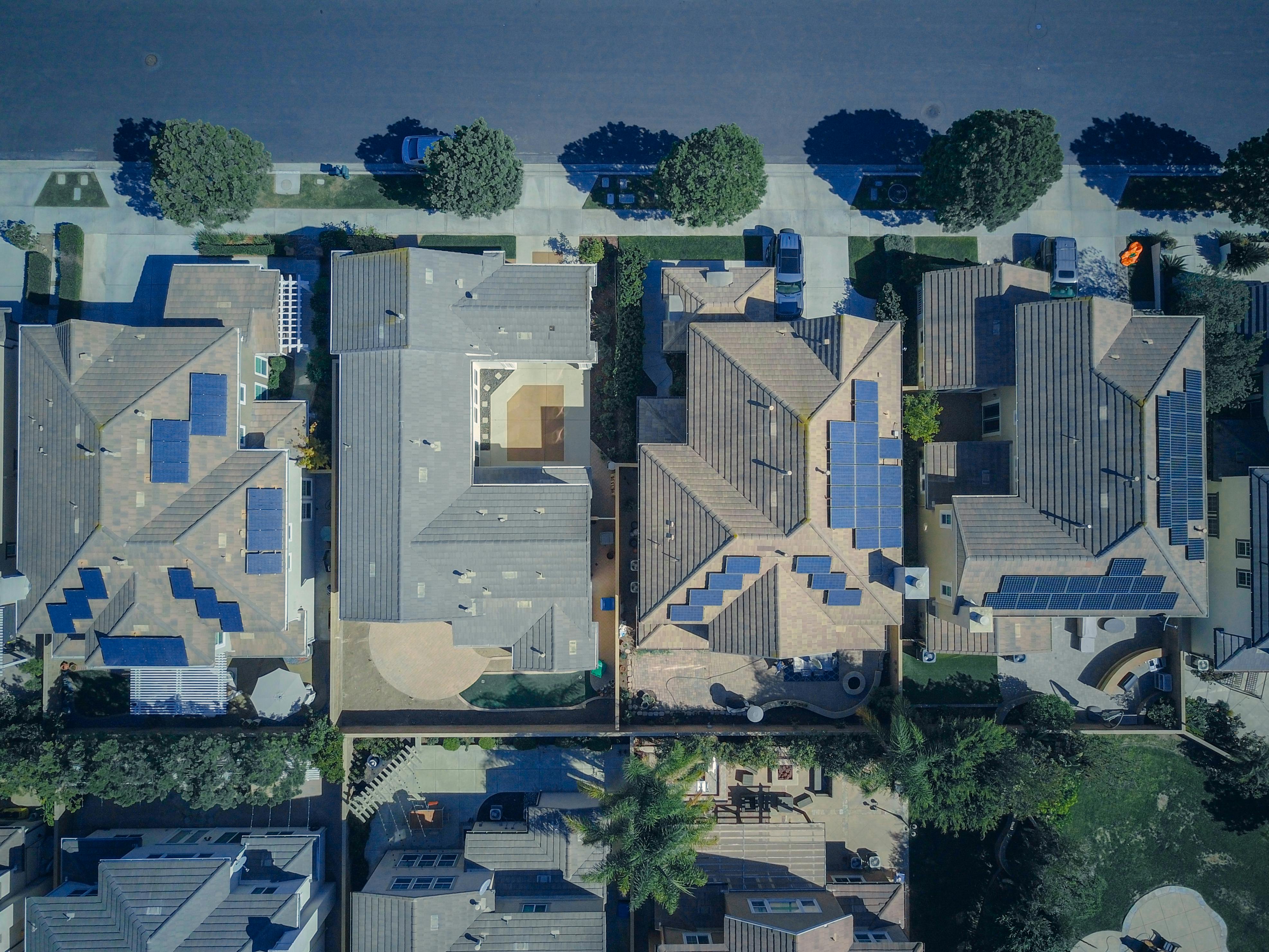
Faster estimates, safer inspections, clearer documentation for roofing contractors.
Read More →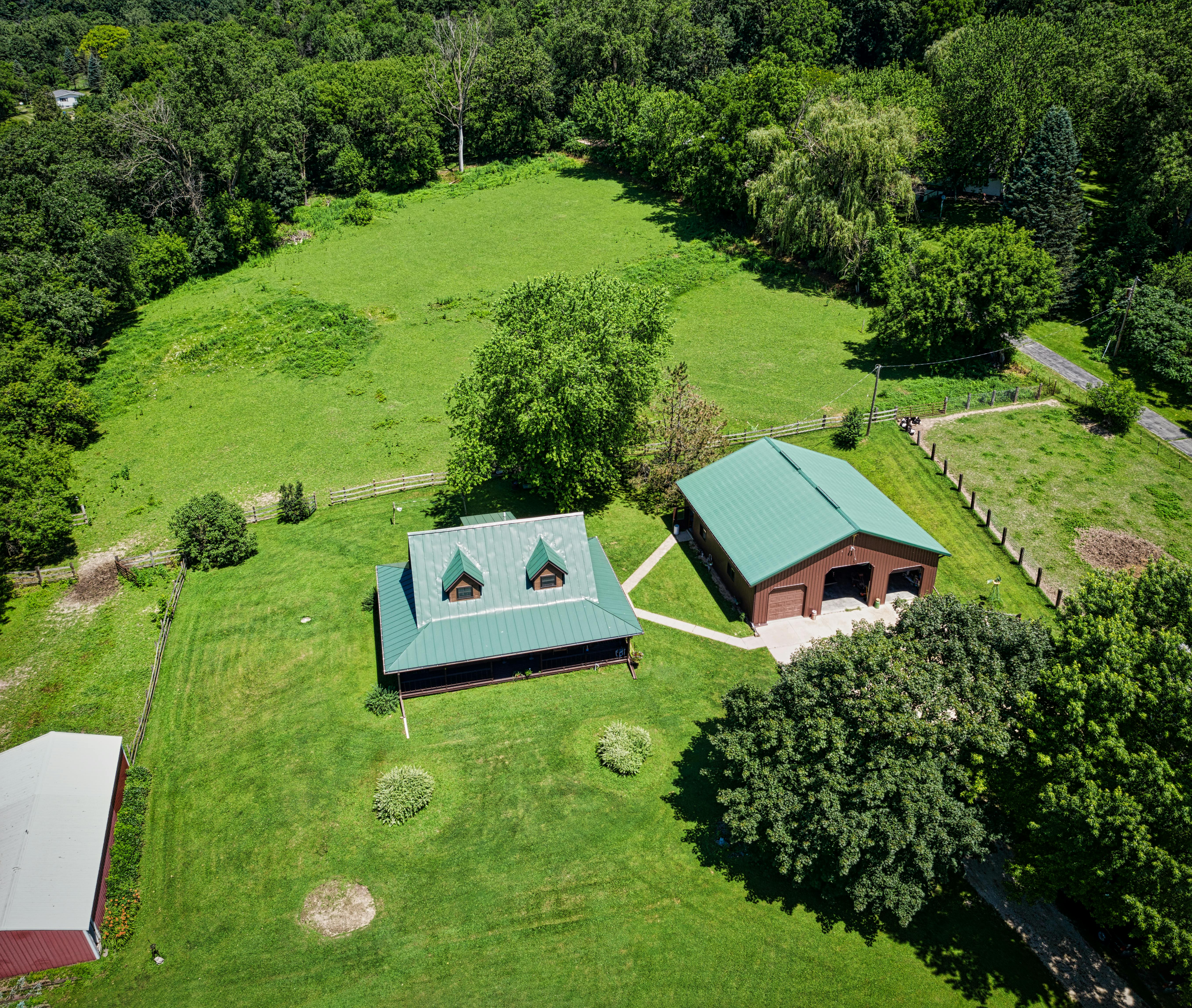
Win listings and sell faster with high-impact aerial imagery and video.
Read More →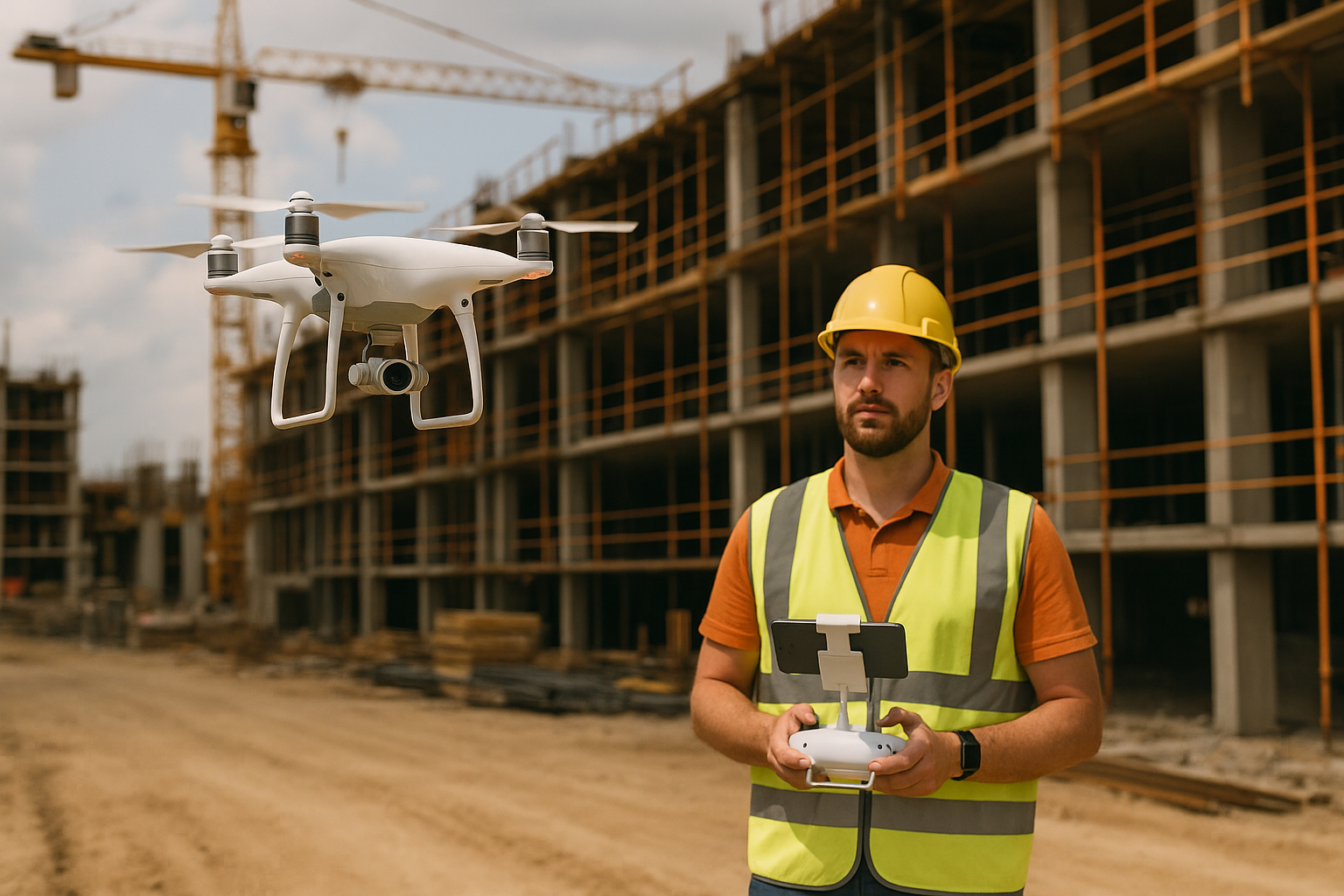
See how DJI drones speed up site surveys with safer, more accurate aerial data.
Read More →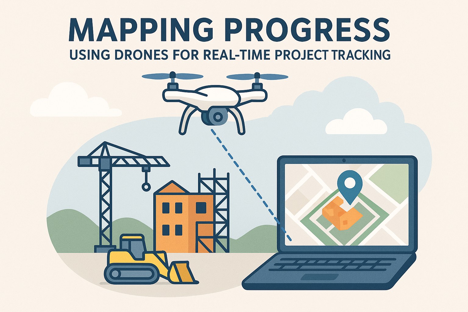
Track your builds visually from above and keep teams and clients in sync.
Read More →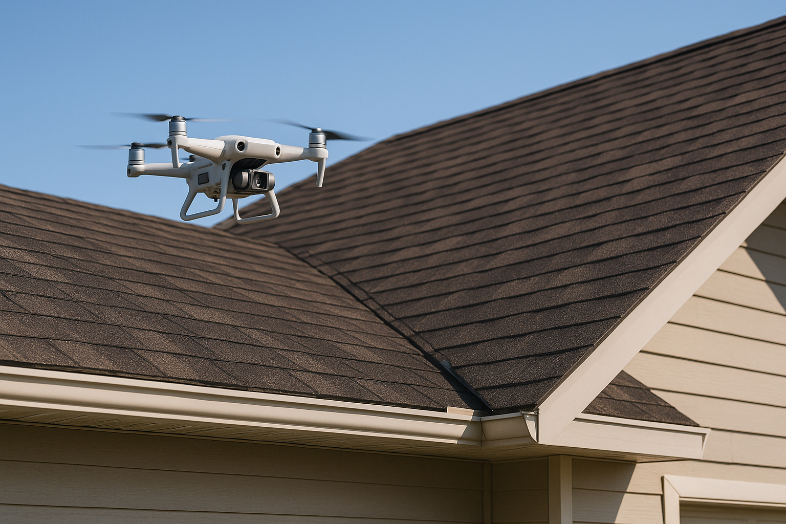
Make inspections safer, faster, and more detailed with DJI drones.
Read More →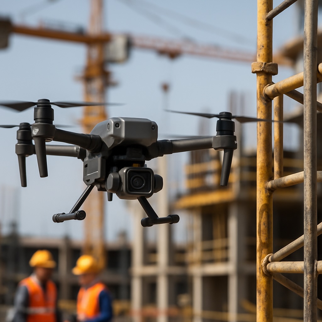
See how DJI drones prevent accidents, reduce risk, and keep workers safe on active construction sites.
Read More →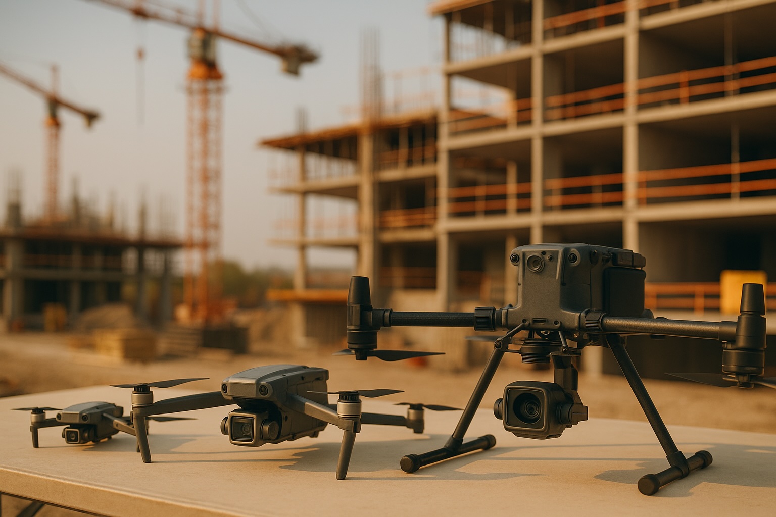
Compare DJI drones for surveys, mapping, and inspections so you pick the right tool for your site.
Read More →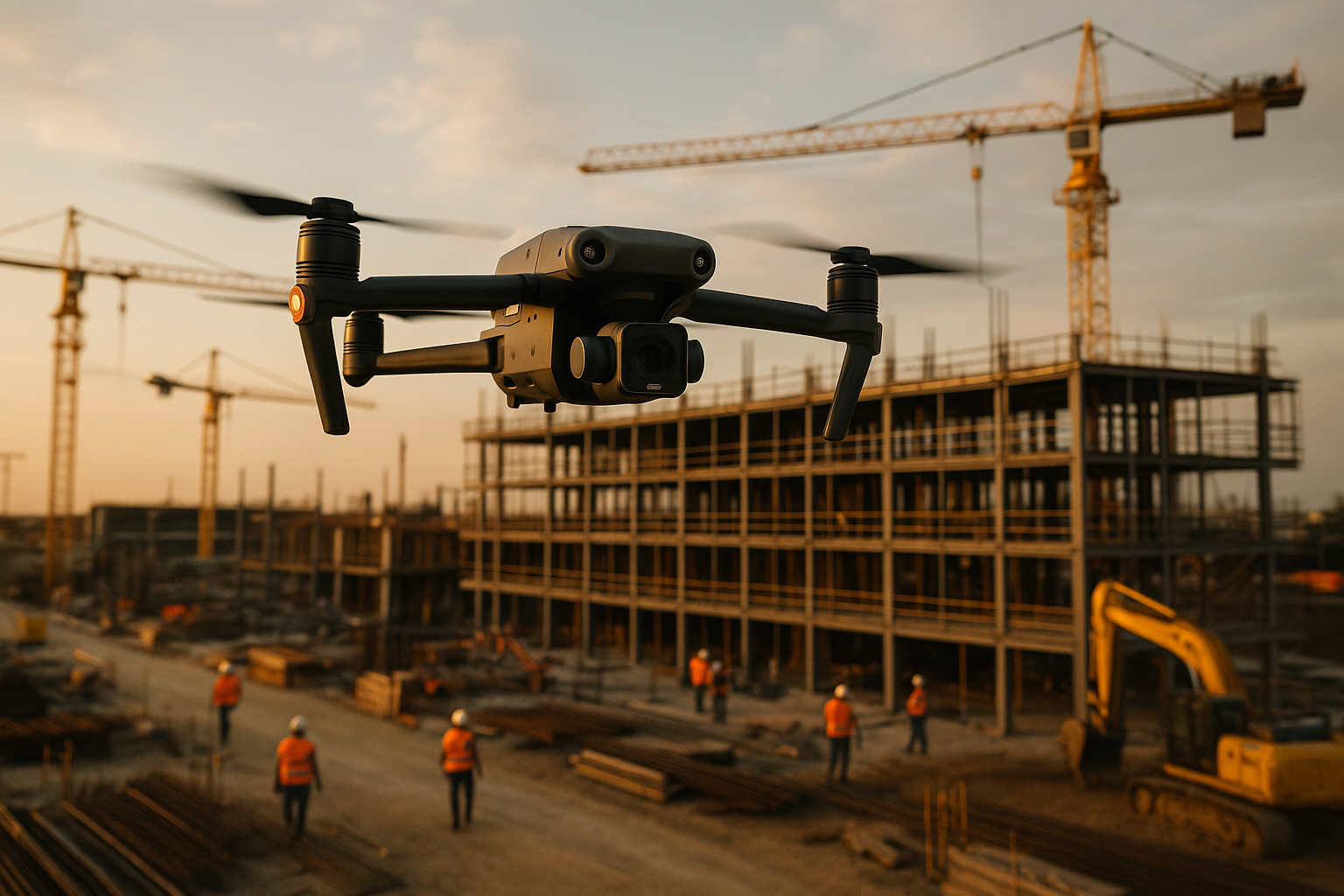
Reduce delays, streamline communication, and keep projects moving with aerial data and automation.
Read More →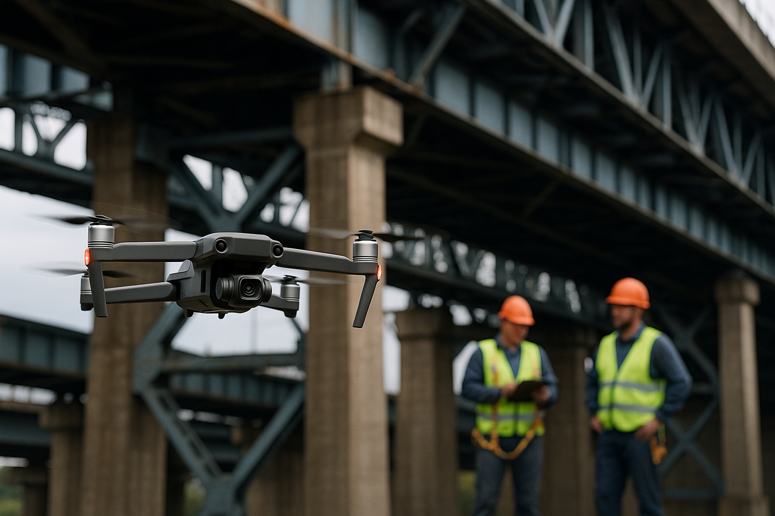
How drones help inspect bridges, towers, and roadways faster, safer, and more accurately.
Read More →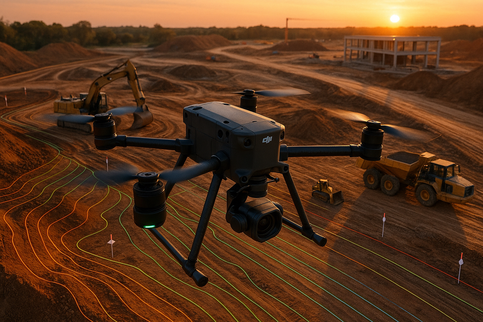
See how DJI drones deliver fast, accurate topographic surveys to support modern construction teams.
Read More →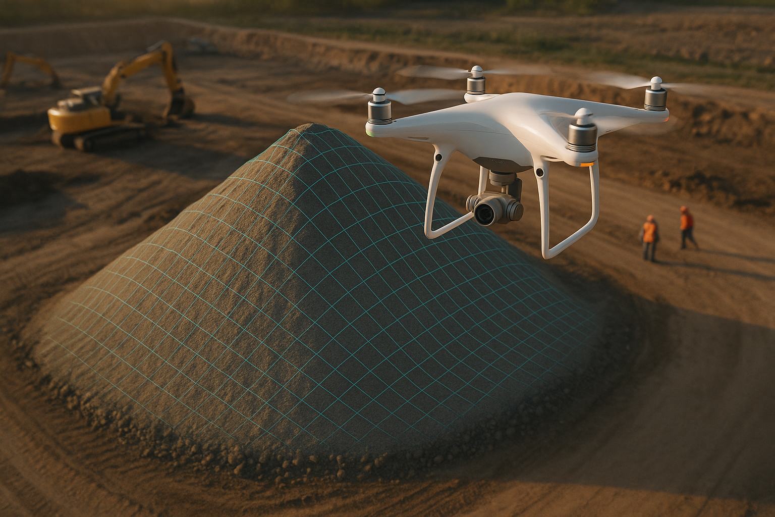
Learn how DJI drones calculate accurate stockpile volumes for construction and mining sites.
Read More →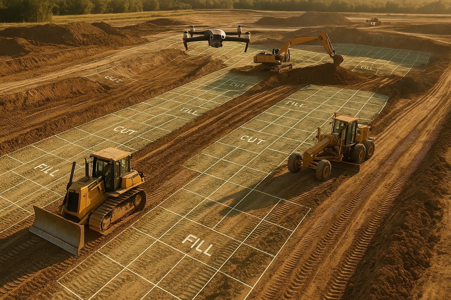
Track excavation, grading, and site development faster with aerial data.
Read More →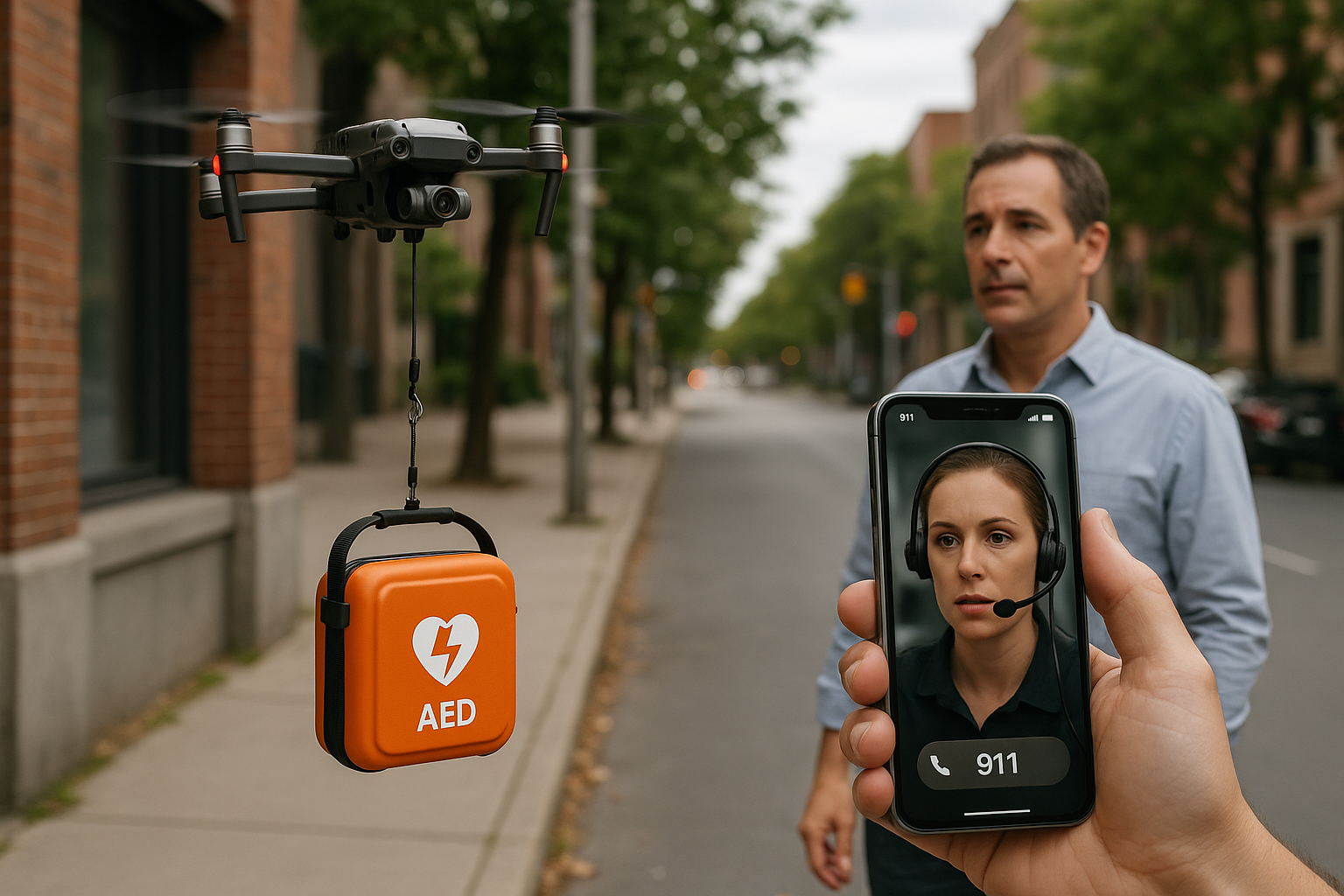
Explore pilot programs and how DJI drones could speed defibrillator delivery to help save lives.
Read More →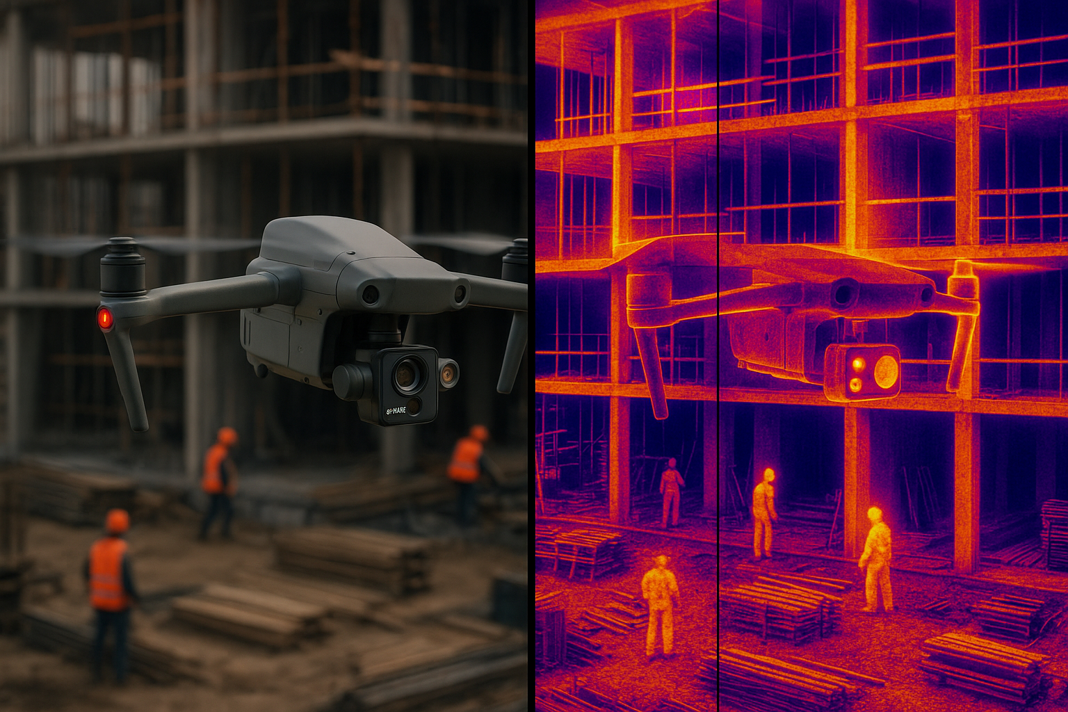
Identify heat loss, moisture, and electrical faults with thermal DJI drones.
Read More →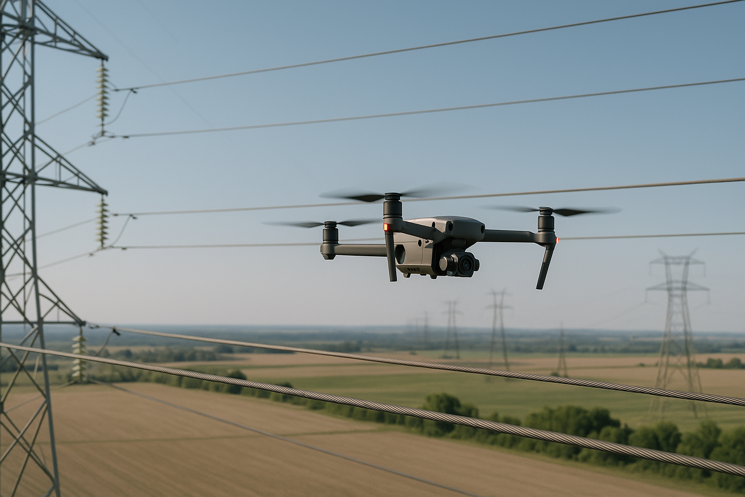
Inspect power lines, poles, and transformers safely with aerial data.
Read More →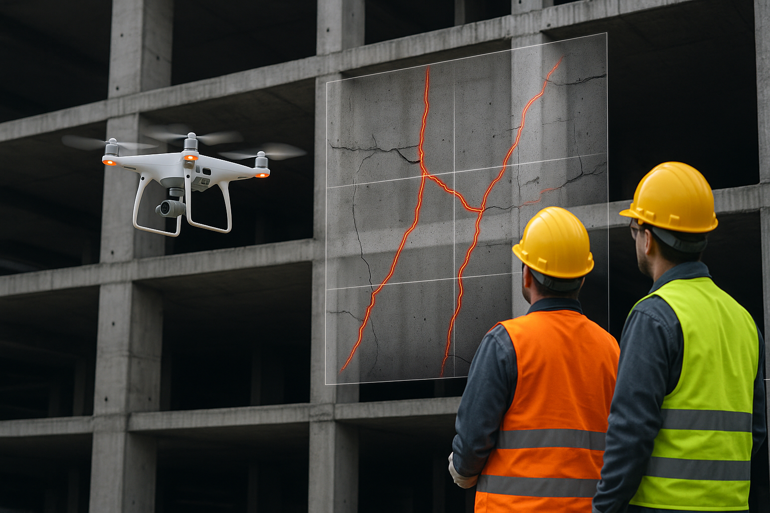
Modern drones allow inspectors to assess cracks, structural weaknesses, and surface conditions without putting workers at risk.
Read More →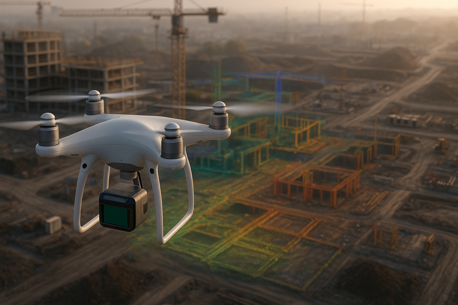
LiDAR-equipped drones provide centimeter-accurate elevation models for planning, progress tracking, and earthworks.
Read More →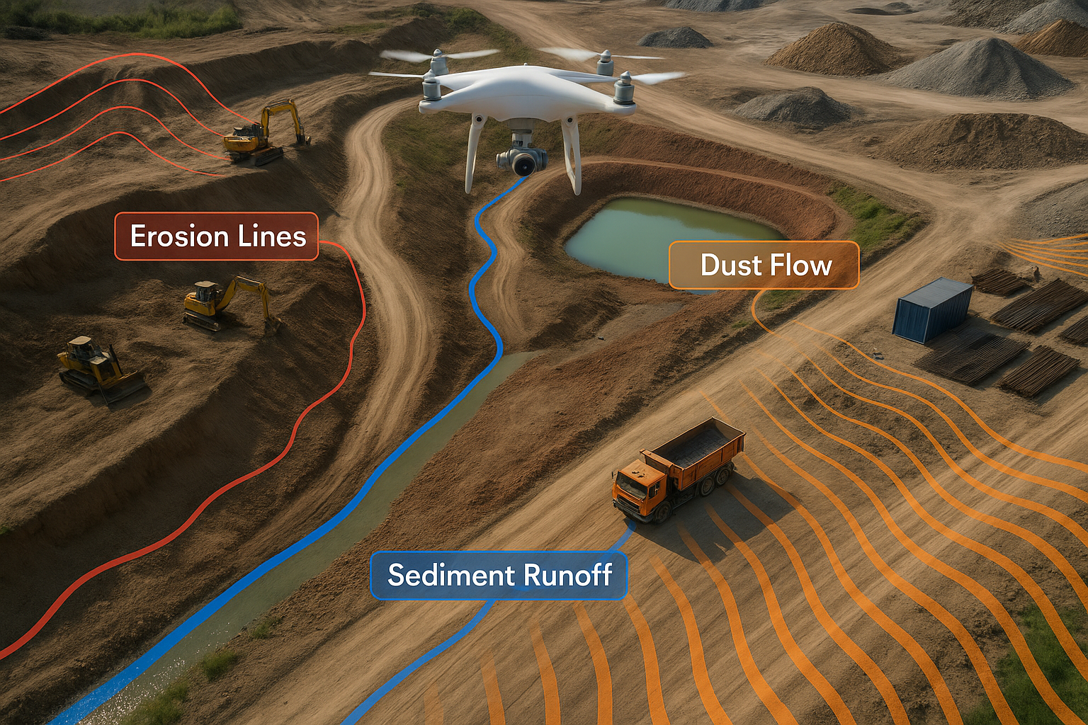
Drones help measure air quality, water pollution, wildlife movement, and land changes — improving environmental compliance.
Read More →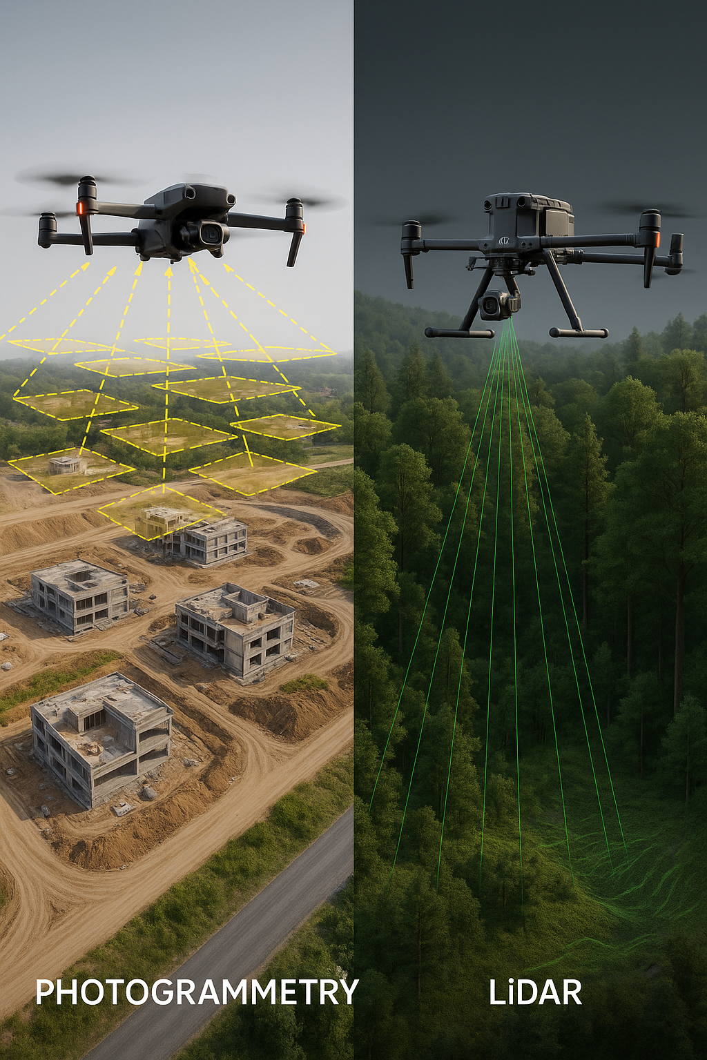
Learn the differences between photogrammetry and LiDAR, compare accuracy, and see which DJI drone mapping solution fits your project.
Read More →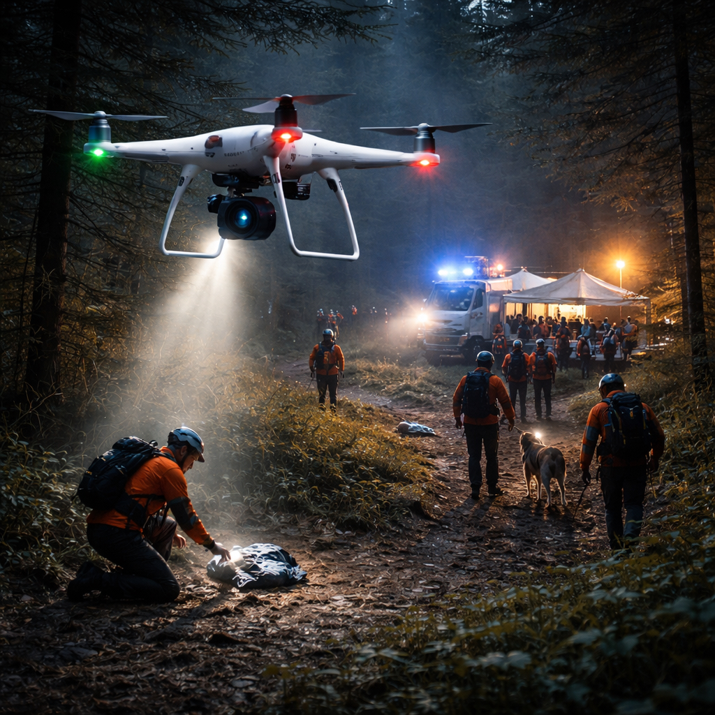
Learn how DJI drones help search and rescue teams find missing persons faster and save lives in emergency situations.
Read More →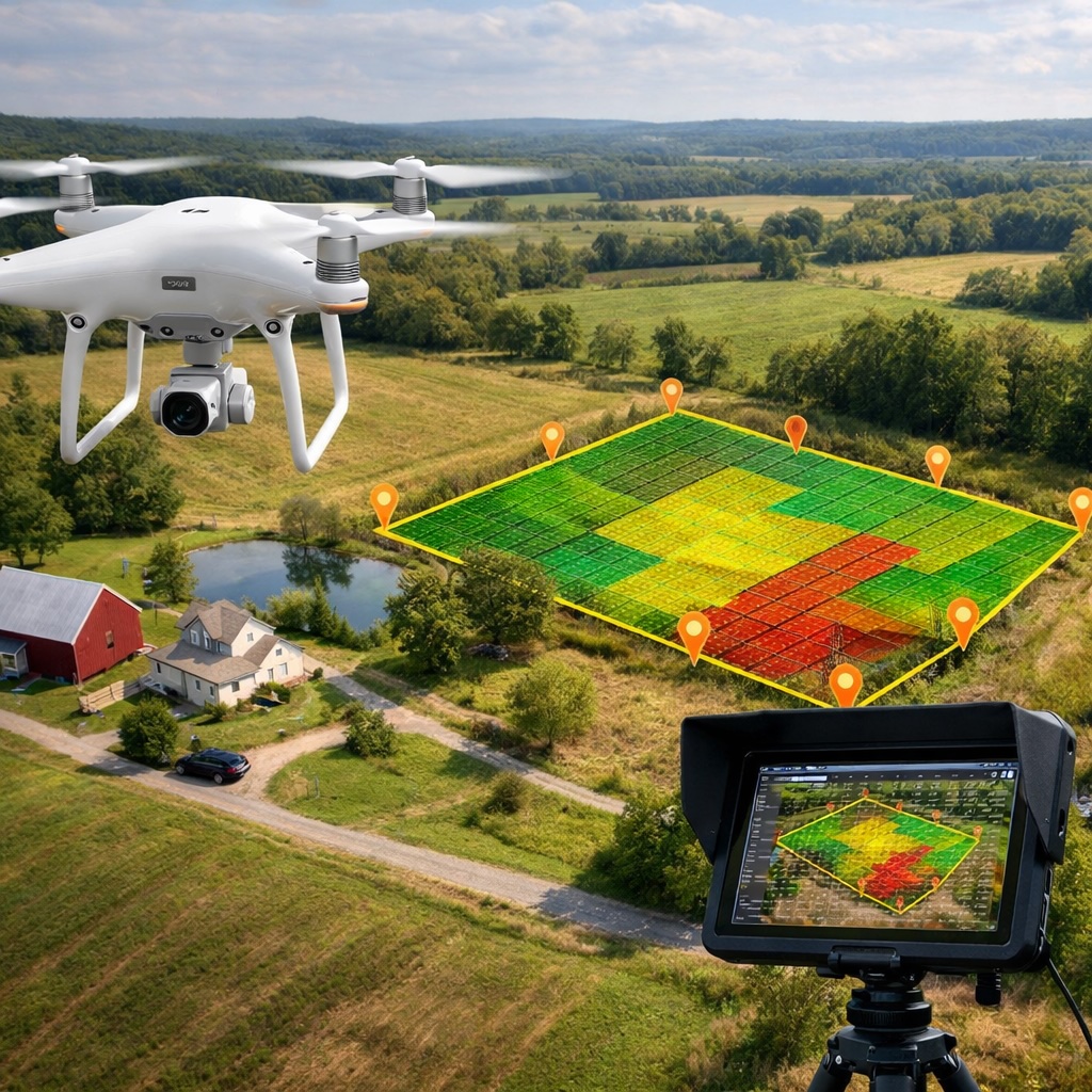
Discover how DJI drones are revolutionizing land surveying with faster, more accurate, and safer surveying methods.
Read More →
Learn how DJI drones are revolutionizing film production with stunning aerial cinematography that was once impossible.
Read More →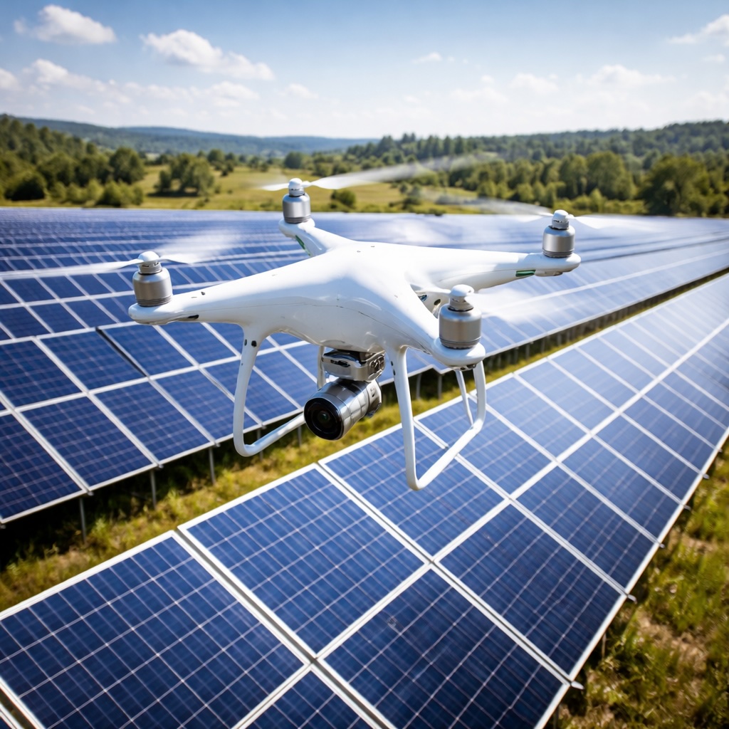
Discover how DJI drones with thermal imaging help solar farms find faulty panels and maximize energy efficiency.
Read More →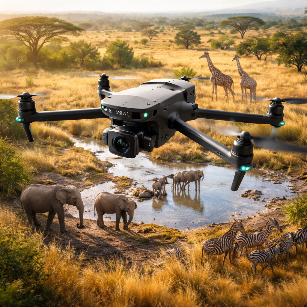
Learn how DJI drones help protect endangered species and monitor wildlife populations without disturbing habitats.
Read More →
Learn how DJI drones are transforming event photography and videography with stunning aerial perspectives.
Read More →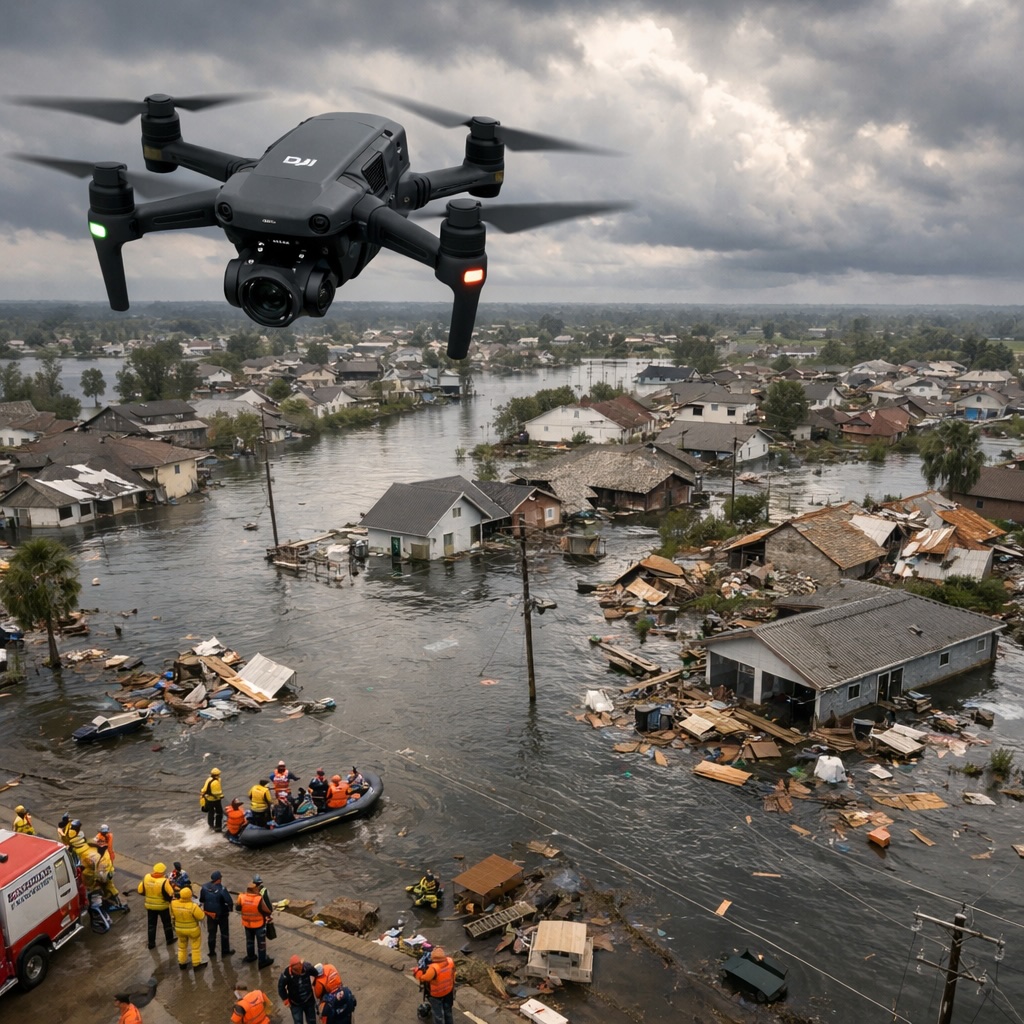
Discover how DJI drones help emergency responders assess damage, coordinate relief efforts, and rebuild communities.
Read More →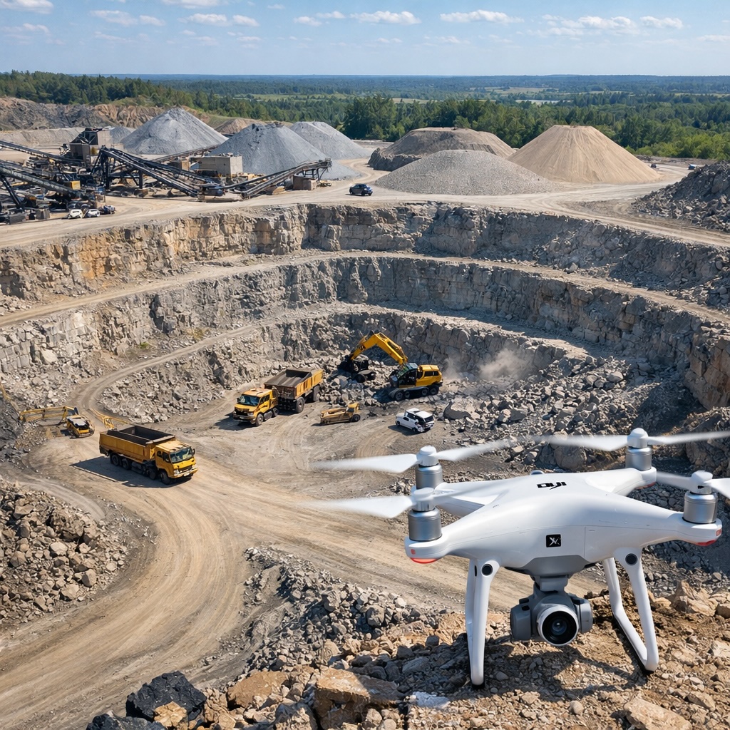
Learn how DJI drones help mining operations with accurate volume measurements, safety monitoring, and efficient site management.
Read More →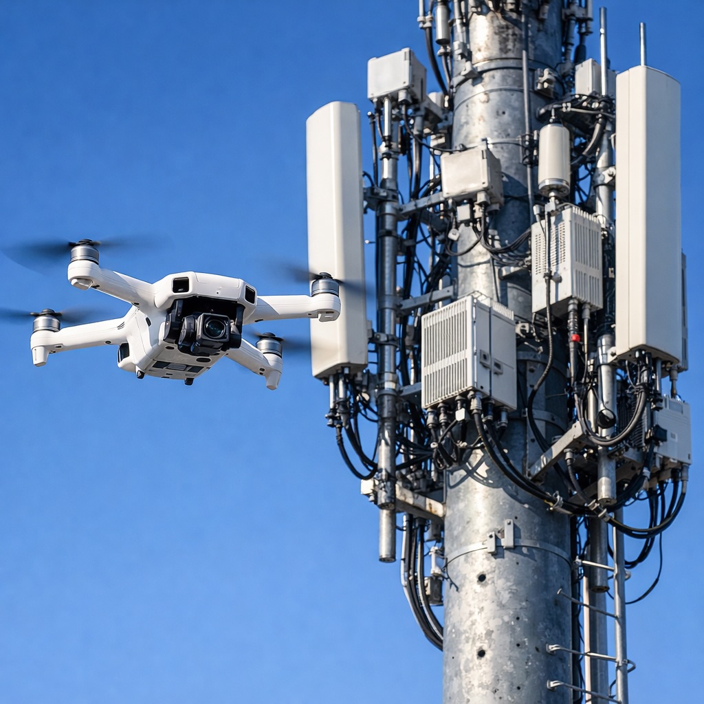
Discover how DJI drones are making cell tower inspections safer and more efficient for telecom companies.
Read More →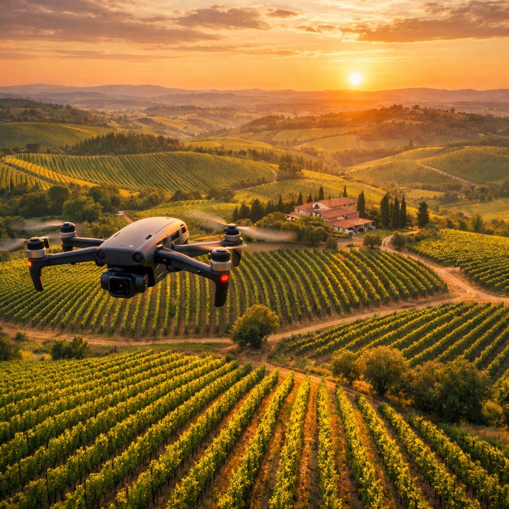
Learn how DJI drones help vineyard managers monitor grape health, optimize irrigation, and improve wine quality.
Read More →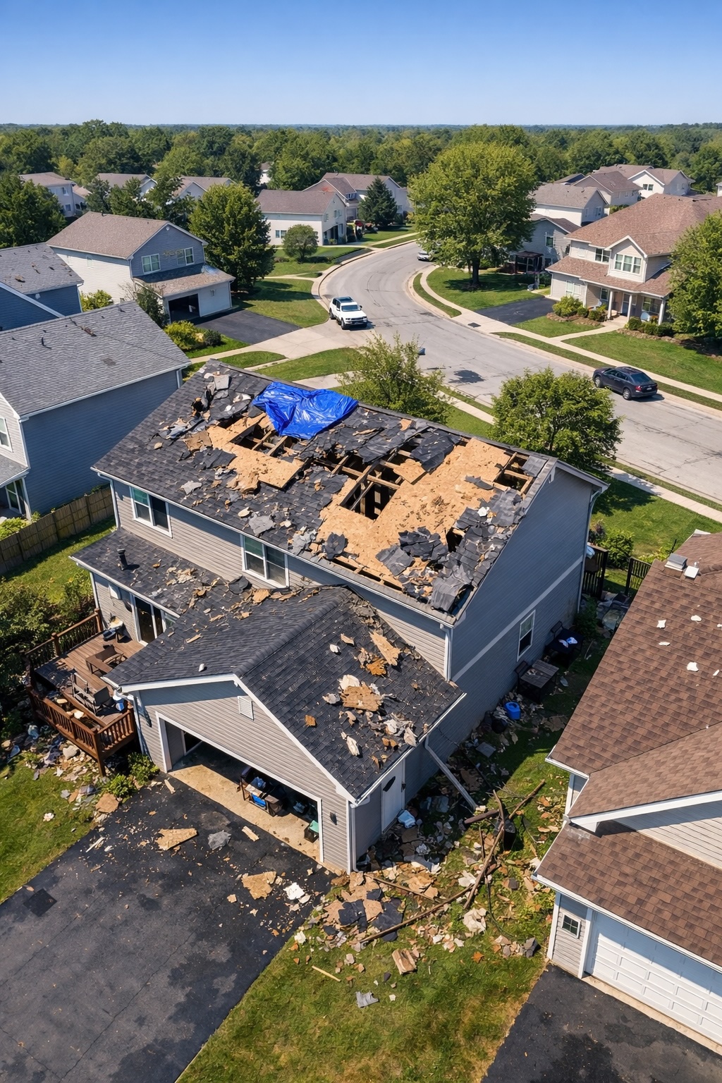
Discover how DJI drones help insurance adjusters assess property damage faster and more accurately, speeding up claims processing.
Read More →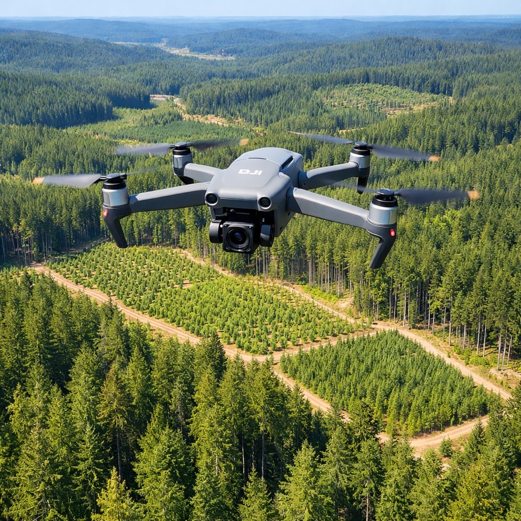
Learn how DJI drones help forest managers monitor tree health, plan harvests, fight wildfires, and manage forests sustainably.
Read More →
Discover how DJI drones help city planners and traffic engineers improve roads, reduce congestion, and plan better transportation systems.
Read More →